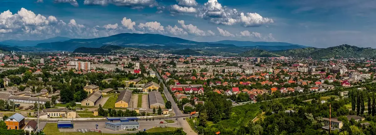
The territory of Transcarpathia is under the influence of air flows, which are carried for the most part from the Atlantic, as well as from the Mediterranean and continental regions of Asia. Cyclones that originate over the Atlantic bring moist air here. Therefore, the winter in the region is mild, with frequent thaws, and the summer is warm, with frequent rains. Despite the considerable distance, the Atlantic ocean softens the temperate continental climate of Transcarpathia.
In the flat part of the region the average temperature indicators July is from +20 to +21 degrees Celsius, and January-from -3 to -4 degrees Celsius’s. The amount of precipitation is 700-800 mm per year.
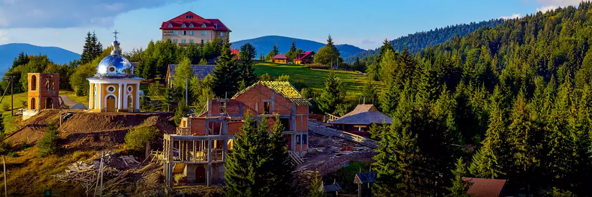
In the foothills at altitudes from 150 to 400 meters, the average July temperatures range from +18 to +20 degrees Celsius, and January-from -4 to -5 degrees Celsius. The amount of precipitation is 900-1100 millimeters per year.
In mountain in the zone at altitudes from 400 to 500 meters, the average temperature in July is from + 16 to + 19 degrees Celsius, and in January – from -4 to-7 degrees Celsius.
The most severe climate in Transcarpathia is in the high-altitude zone-on altitudes from 850 to 1500 meters. In this part of Transcarpathia average temperature indicators July is from +12 to +15 degrees Celsius, and January-from -6 to -8 degrees Celsius’s. The amount of precipitation is 1100-1400 millimeters per year.
The lowest temperature in Transcarpathia in the entire history of observations-minus 36 degrees Celsius – was registered in the village Nyzhnii Studenyi Intermountain region,and the maximum is in the city Beregovo – plus 41 degrees Celsius.
The warm period in Transcarpathia lasts from the end of February to November. In the valley zone the warm period begins from the end of April and ends in the second half October.
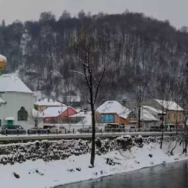
In the flat part of Transcarpathia the height of snow cover in individual the height reaches 30-40 centimeters, in the mountains-up to 2-3 meters. However, in the last years of winter in Transcarpathia, very little snow, especially in the flat part of the region. Snowmelt in the lowland-foothill zone begins at the end of the second decade of February. In Gorno-Lesnoy however, the snow begins to descend only in the second half of April.
In February, the rapid melting of snow begins, which is accompanied by big rains. Rivers have very high snow and rain floods, which sometimes they turn into floods, such as in 1992, 1998, and 2001.


_1700_р._Вишка_7661-HDR")


")