Hiking plan on the Montenegrin ridge
Ivano-Frankivsk – Kvasy or Lazeshchyna – the foot of Petros
The first day of our trip begins with a group meeting at the Ivano-Frankivsk railway station, the first meeting with the instructor and the distribution of food. After the organisational moments, with backpacks on our shoulders and a smile and joy in our hearts, we take our seats on the bus and head to the start of the voyage. Our six-day journey through the Carpathians will begin in a picturesque mountain Kvasy village. The village became known for its natural source of healing mineral water, which you should definitely try 🙂 Next, we will hike up to the Menchul meadow. Our path will pass through a cosy and beautiful beech forest. Upon reaching the meadow, we will immediately set up a camp there.
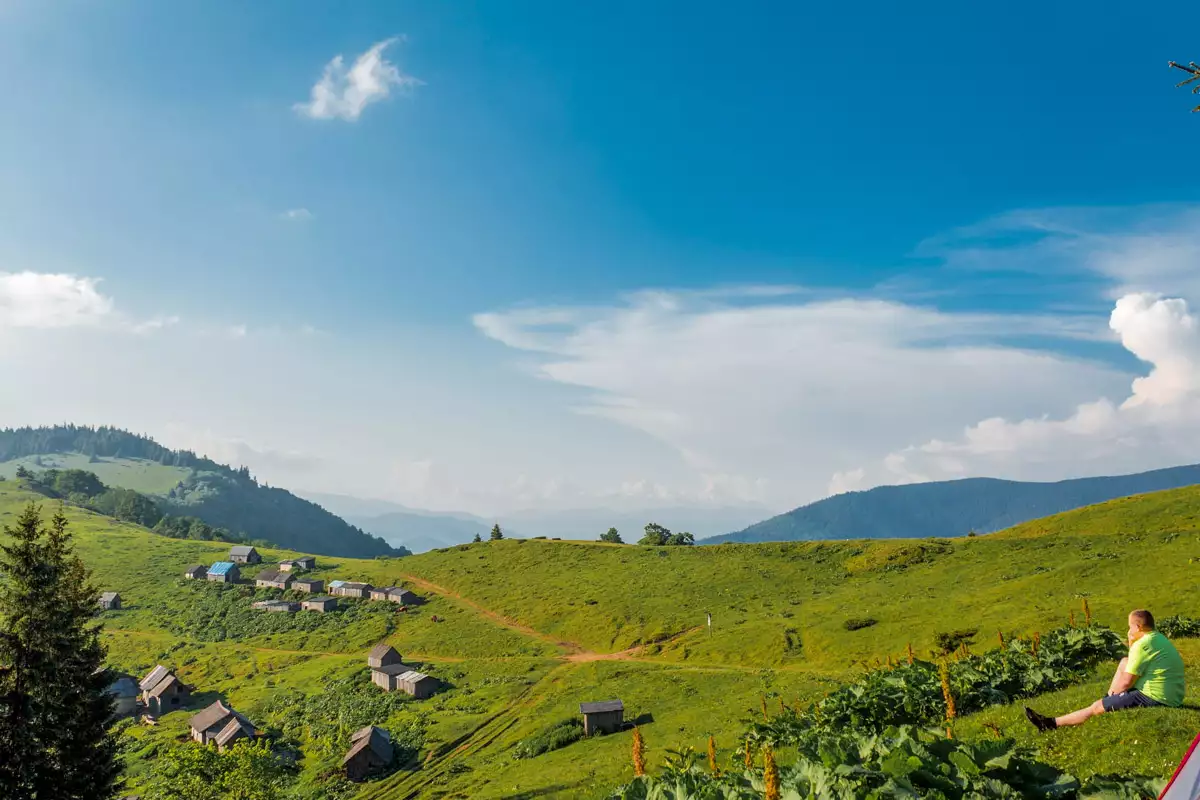
On the 1200m-high Menchul meadow, you will be treated to an extraordinary view of the Svydovets massif and its wooded surroundings. Somewhere far below you can see a strand of the Black Tisza River, on the banks of which you can barely see the small huts of the village of Kvasy. At the end of the first day, we take a walk along the meadow and watch the picturesque sunset in a friendly company. During the warm season, you will have the opportunity to buy fresh milk from the shepherds, which will perfectly quench your thirst in the heat.
In total, during the first day we will cover 7 km in length and 750 m in height.
Climbing Petros
On the second day we will climb Mount Petros, which is the fourth highest mountain in Ukraine. We will climb from the village of Kvasy along picturesque meadows. After reaching the ridge itself, we will go directly to the top of Mount Petros, while admiring the incredible views of the Carpathians.
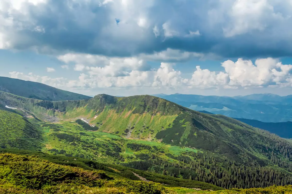
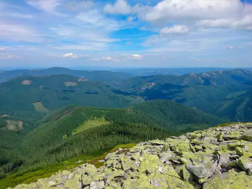
On Mount Petros, in clear weather, you can see the entire Montenegrin ridge from a height, including its highest mountain, Hoverla, which is only 9 km away. At the top, we make an incredible photo shoot, breathe in the clean mountain air and, having worked up a good appetite, start eating. It is worth noting that the weather at the top of Petros is extremely changeable and capricious. But don’t worry, we believe that we will be lucky with the weather and the clear warm sun will accompany our voyage. We organise an overnight stay between the Petros and Hoverla mountains. On this bridge, during the season, you can find a whole sea of blueberries.
During the second day, we will cover 13 kilometres, with an altitude difference of 900 metres up and 600 metres down.
Legendary Hoverla – Lake Nesamovyte
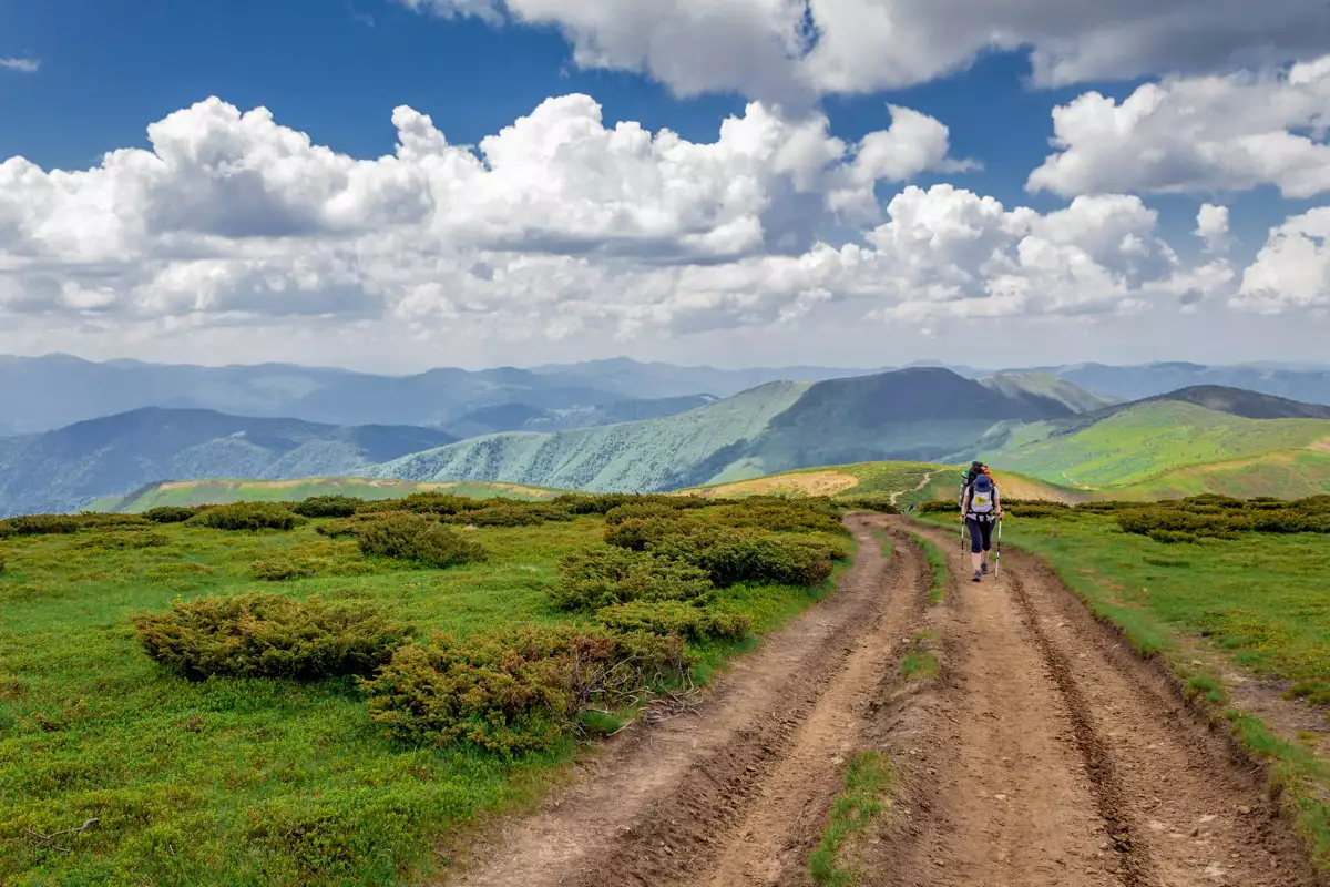
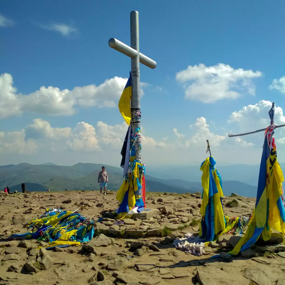
The third day of our hike is extremely important. On this day we get up very early and go to conquer the highest mountain in Ukraine – Hoverla (2061 m). Slowly climbing through the spruce forest, we will reach the alpine meadows. In general, our path will now pass above the forest zone, which will continue for two more days of our voyage. Looking at Hoverla from Petros, you may think that the highest peak of Ukraine looks like the backbone of a magical giant fish emerging from the mountain waves of the Carpathians. After a short rest, we’ll start the steepest part of the 500-metre climb. In clear, good weather, there are always a lot of people at the top of Hoverla, especially if it’s a weekend. Be sure to take a selfie and a photo session on Hoverla so that we have cool photos as a souvenir 🙂
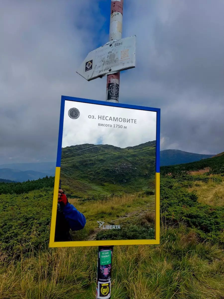
Continuing our way along the Montenegrin ridge, we will conquer the peaks of Breskul (1911 m), Pozhyzhevska (1822 m), Turkul (1933 m). At the end of the third day of the hike, we will camp under the ridge in a place near the high-mountainous lake Nesamovyte at an altitude of 1750 metres. Before sunset, you can walk to the top of Mount Turkul to see it from the best angle.
During the third day we will cover 9 km with 850 metres of ascent and 630 metres of descent.
Rebra – Brebeneskul – Menchul – Dzembronia – Saddle near Smotrych
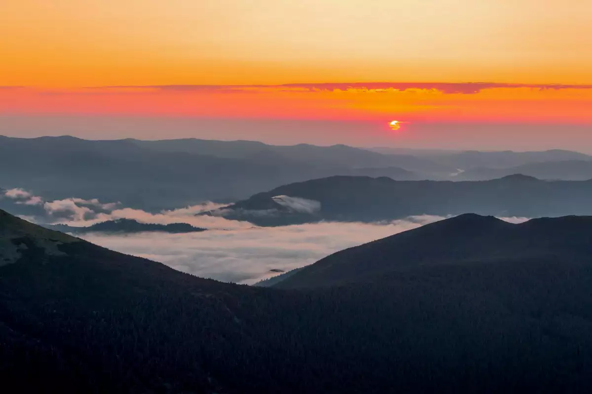
For everyone who wants to see the birth of a new day, we recommend getting up early, even before sunrise, and instead of doing morning exercises, make a quick climb to the nearest slope 🙂 In good, clear weather, it’s a dream come true for city dwellers to enjoy this fascinating and meditative performance. In the mountains, as a contrast to the hustle and bustle of the city, you can enjoy the peace and quiet and the disc of the Sun slowly rising above the horizon, playfully casting light on the mountain valleys that are foggy and sleeping behind the shadow of the hills. These feelings are incredibly fabulous and pleasant.
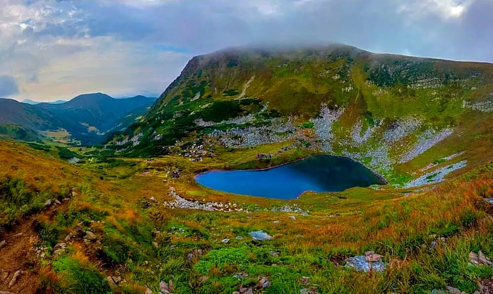
Once upon a time, in the 20s and 30s of the last century, the border line between Poland and Czechoslovakia ran through the Chornohora range. On the fourth day of the hike, our journey will start from the 32nd border pillar and reach the 18th. Along the way, we will admire the rocks near Mount Spikes and the blue of the high-mountainous Lake Brebeneskul (1801 m). At the end of the day, before dark, we’ll have to descend a little bit from the ridge and stop at the foot of Mount Smotrych. The place is convenient for a stop, as it is provided with water and flat places to set up tents.
During the fourth day, we will cover a distance of 12 kilometres with an ascent of 700 metres and a descent of 740 metres.
Observatory on Mount Pip-Ivan Chornohirsky – Vuhanyi Kamen – Dzembronia
In the morning we will continue our journey by returning to the main ridge. On the fifth day, we will climb the last two-thousand metre peak of our hike – Mount Pip-Ivan Chornohirsky.
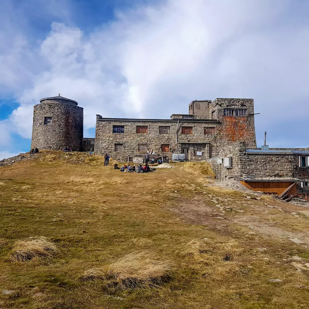
It is the mountain that closes the Montenegrin ridge as a formidable mountain guard. On this peak, we will find one of the most famous high mountain locations in Ukraine – the abandoned old Polish observatory “White Elephant”! The name of this building is due to the fact that in winter it looks like a large white elephant due to the snow!
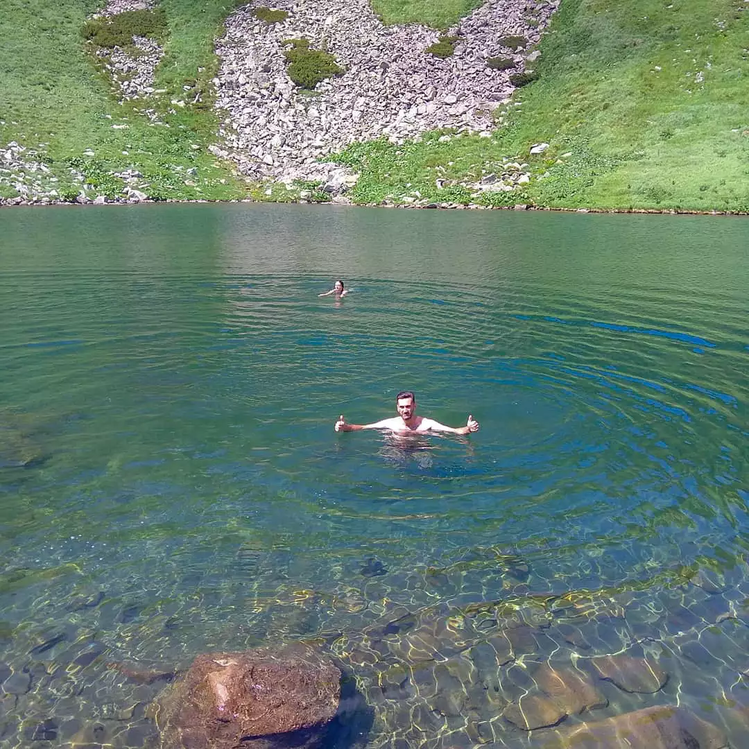
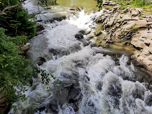
After a short rest, we will begin the descent from the majestic Montenegrin ridge. On the way, we will pass by the rocks of the Eared Stone Mountain. Walking along a spur of this picturesque mountain among a large number of rock formations, we will reach the Dzembronski waterfalls, where you can enjoy a dip in the icy water. Then we will follow a rocky path through an incredibly beautiful spruce forest. Before dark, we will reach the Smotrych meadow. We will set up our tents not far from the shepherds’ summer farm. Here we will have a great opportunity to taste real Hutsul cheese.
On the penultimate day of the hike, we will cover as much as 10 kilometres of the route. The ascent in height will be 450 metres, and the descent will be 850 metres.
Dzembronia – Verkhovyna – Yaremche – Ivano-Frankivsk
On the sixth day of our hike, after a good breakfast, we will continue our descent from the mountains to the village of Dzembronia. This path will take 4 kilometres in length with an altitude difference of 500 metres.
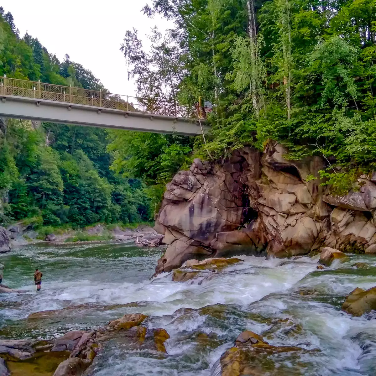
In the village of Dzembronia, the transport we had taken on the way was already waiting for us Verkhovyna we will go to the glorious city of Ivano-Frankivsk. Along the way, we will have the opportunity to stop at Yaremche. Here we will have time to admire Probiy waterfall and buy Carpathian souvenirs for friends, relatives and yourself. In Franik we will hold an organised celebration of the finish of the hike, choosing one of the local cafes, where the food is very tasty and not expensive 🙂
