Mountain range of Chornohora
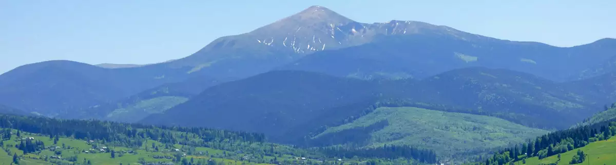
Chornogora is the highest mountain massif of the Ukrainian Carpathians, it includes the town of Hoverla, the highest point in Ukraine with a height of 2,061 m. It is located east of the Polony Beskydy. The main spine extends to a length of approx. 40 km between the valleys of the rivers Black Tysa in the west and Black Cheremosh in the east.
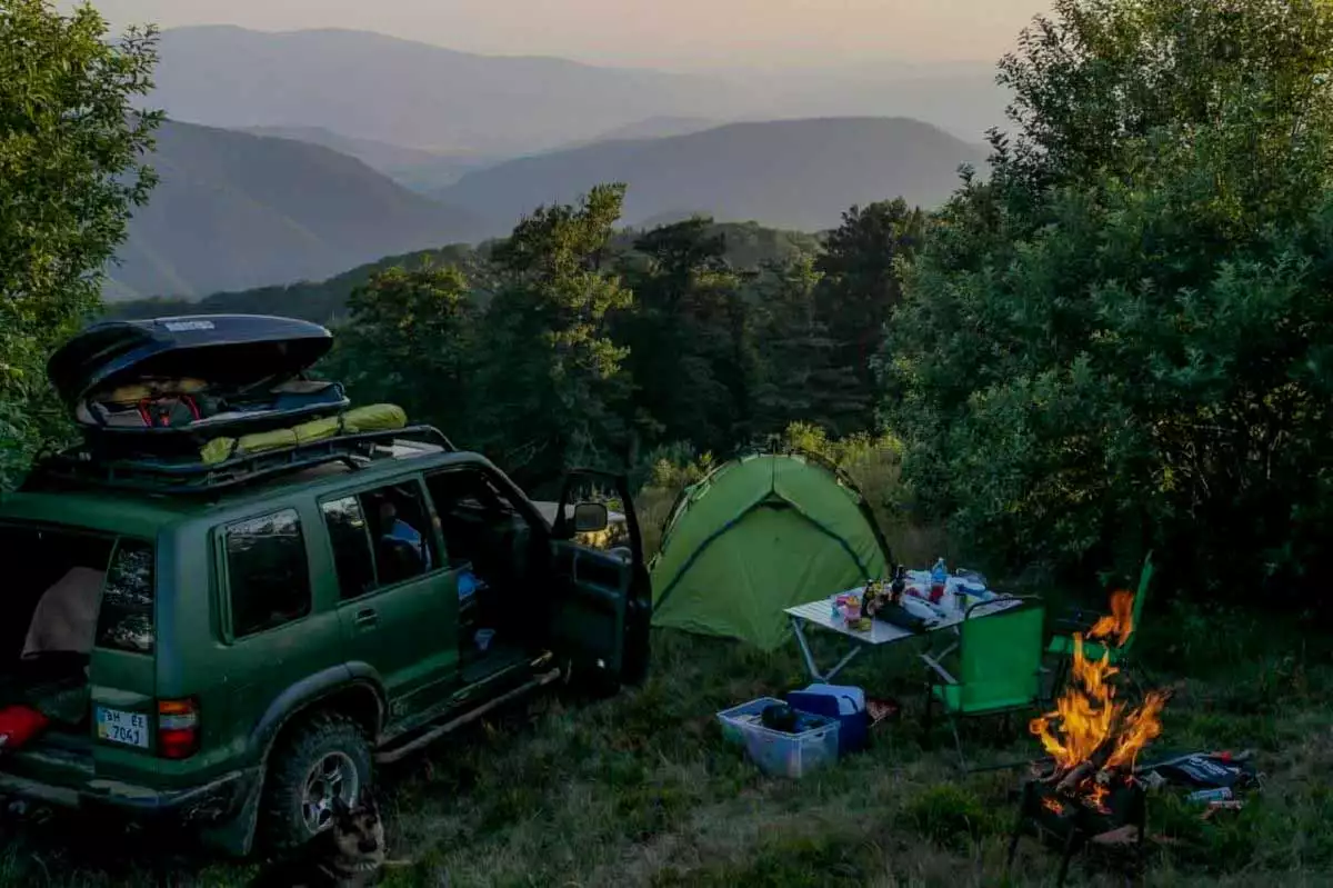
Chornohora: photos and videos
| 🗺 Location |
N48°07’21.9132″ E24°26’50.7274″ |
| ⛰ Highest point |
Hoverla (2061 m) |
| 🏔 Spine length |
40 km |
| 🧭 Distance from Lazeshchyna |
16 km |
| 🚙 Road for |
On foot |
| 🏕 Stand with a tent |
Yes |
| 🏡 Housing nearby |
Lazeshchyna |
| ☕ Cafes and shops |
Lazeshchyna |
How to get to the mountain range of Chornohora
| 🔰 Start |
Lazeshchyna |
| 🚶 Distance on foot and by SUV |
16 km |
| ⬆ Rise |
from 712 m to 2061 m |
What is interesting nearby

"Polonyna Pertsi" is the most interesting place for a family rest in Yablunytsya. This incredibly picturesque meadow has become a

Mount Khomyak is located at a distance of almost 6 km from the village of Tatariv and is part of

This ethnographic museum is located in the village of Tatariv on the territory of the Koruna recreation complex. The museum's

To get a deeper insight into the history and traditional way of life in Tatariv, it is worth visiting the

Among the mountain peaks around Mykulychyn, the first one worth climbing is the majestic Mount Kostel (also known as Horhan

Another mountain peak near the village of Mykulychyn that is definitely worth a visit is the 1,216-metre-high Yahidna Mountain. It

While holidaying in the village of Mykulychyn, you should definitely find time to travel to the top of the mighty

If you intend to climb to the top, which was the scene of fierce battles, the best option near Mykulychyn

The extremely picturesque Chemehivskyi Canyon has become a very popular natural location in the village of Mykulychyn. Instagram bloggers and

The Kaplyvets waterfall is located 5 km from the Mykulychyn railway station. It is located on the territory of the

The Narinetskyi single-cascade waterfall is 10 metres high. It is located between the villages of Mykulychyn and Tatariv in a

On the outskirts of Mykulychyn village, you can ride one of the most famous swings in Ukraine. It is located

One of the symbols of Mykulychyn village is the famous Mykulychyn Brewery. It was opened relatively recently - in 2002.

In the middle of the nineteenth century, it was decided to build a new wooden church in Mykulychyn not far

At the end of your visit to the museums in Yaremche, you should definitely visit the Museum of Ethnography and

Fans of mysticism and magic should definitely visit the Museum of Molfarism in Yaremche. It features ancient household items used

While holidaying in Yaremche, tourists will be interested in visiting the modern wooden church of the Holy Apostles Peter and

Not far from the mini-zoo in Yaremche, there is another interesting location with animals - an eco-park with a petting

This unique museum attracts tourists like a magnet. It was initiated in 2015 by the Carpathian National Park and the

When you are on holiday in Yaremche, you should definitely visit the cheese dairy of the Polonyna Makovytsia farm to

Mount Synyachka, with a height of 1400 metres, is located 20 km from Yaremche. It takes 6 hours to get

At a distance of only 5.5 km from the centre of Yaremche, there is the Elephant Rock, which is formed

The White Stone Rock is located on the outskirts of Yaremche (the northern part of the city is called Dora).

The rock and cave complex Dovbush's Rocks is located 7.7 km from the central part of Yaremche, Ivano-Frankivsk region, in

If you come to Yaremche with children, you should definitely visit the local mini-zoo. It was established in 1992 with

Mount Hoverla is located within two Ukrainian regions - Transcarpathia and Ivano-Frankivsk, and it is 17 kilometers from the border

The highest mountain in the Svydovets range of the Carpathians is Mount Blyznytsia, which is 1881 metres high. One of

"Gorgany" is a nature reserve in the Ukrainian Carpathians. It is located in the southwestern part of the Ivano-Frankivsk region,

Zhenetskii Huk (Zhenetski Vodospad) is a waterfall in the Ukrainian Carpathians, on the Zhenets stream (a left tributary of the

This museum is the most popular in Mykulychyn. Its visit is included in most excursion routes around the village. The

Chornogora is the highest mountain massif of the Ukrainian Carpathians, it includes the town of Hoverla, the highest point in

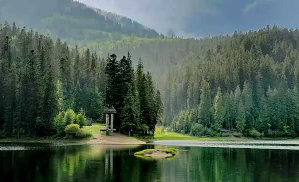
Lake Nesamovyte, located on the slope of Mount Turkul, attracts the attention of tourists on the northeastern slopes of the
7 days / 6 nights
From 2225 ₴
1 day (8 hours)
From 800 ₴
2 days / 1 night
From 2550 ₴
9 hours
From 7000 ₴

On request
From 300 ₴