Mount Temnatyk (Tomnatyk)
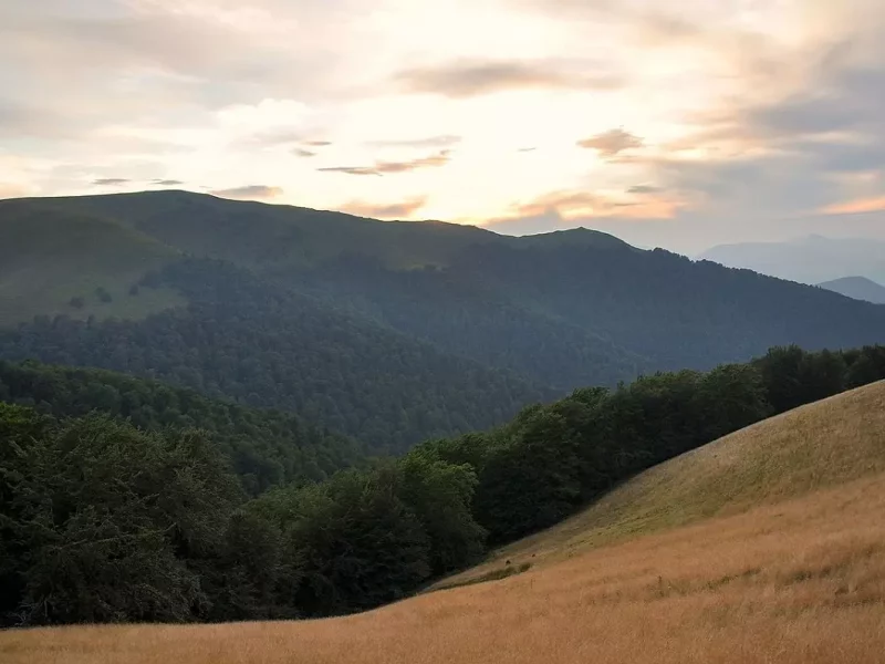
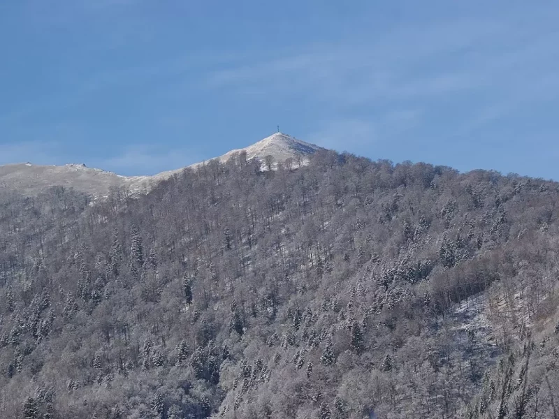
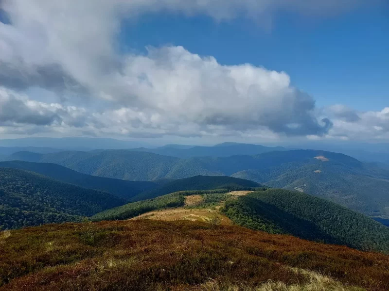
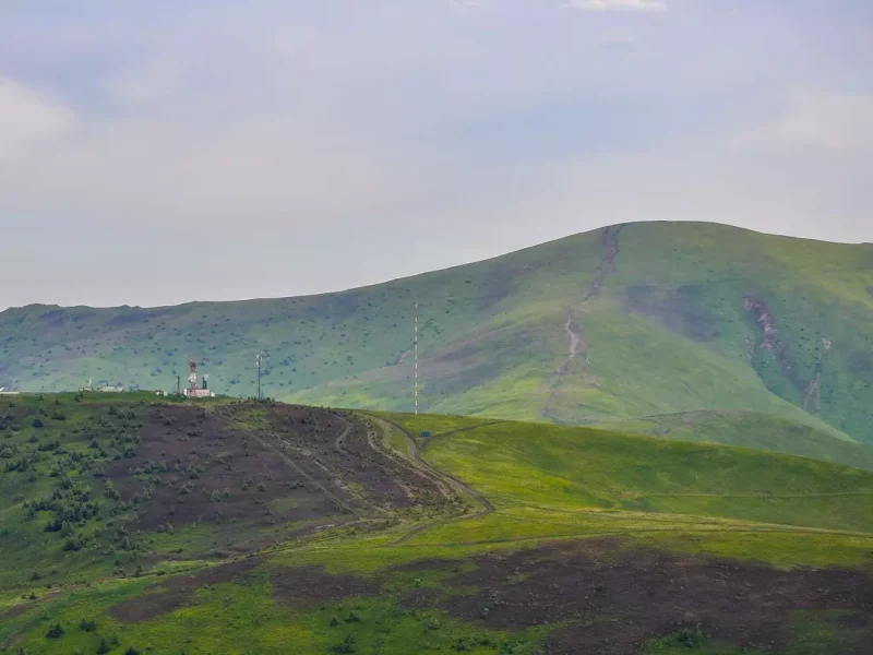
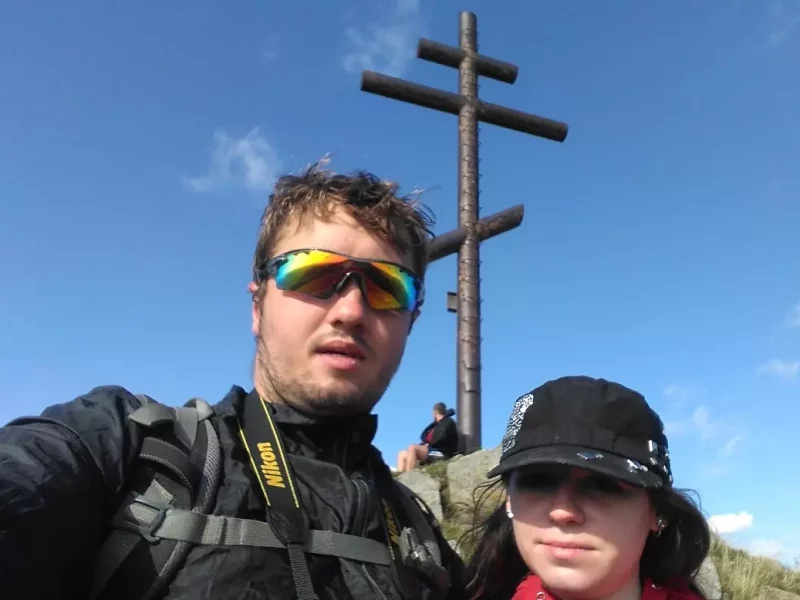
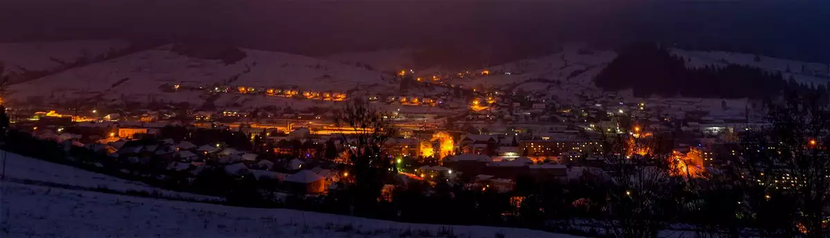
Temnatyk (also known as Tomnatyk) is a dome-shaped peak located in the Ukrainian Carpathians within the Transcarpathian region (north-western part of the Polonyna Borzhava massif). The height of the mountain is 1343 metres. It has steep slopes covered with beech forest with an admixture of fir. It is the closest to the village of Volovets is the top of the Borzhava massif. There is a cross on the top of the mountain, which makes it easy to recognise among its “neighbours”.
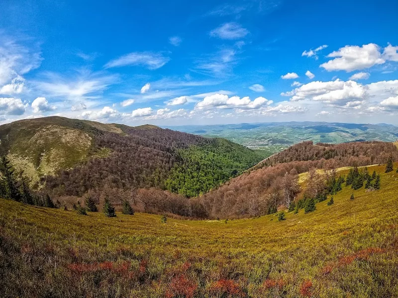
Photos and videos of Mount Temnatyk
A brief overview of Mount Tomnatyk (Temnatyk)
| 🗺 Location |
N48°40′29″ E23°10′13″ |
| ⛰ Highest point |
1343 m |
| 🏔 System of the Ukrainian Carpathians |
Polonyna Borzhava |
| 🧭 Distance from Volovets |
9 km |
| 🚙 Road for |
On foot |
| 🏕 Stop with a tent |
Yes |
| 🏡 Housing nearby |
Volovets |
| ☕ Cafes and shops |
Volovets |
The temperature on Temnatyk is now:
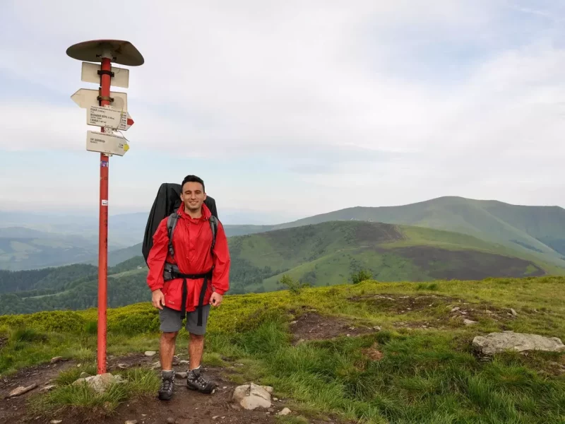
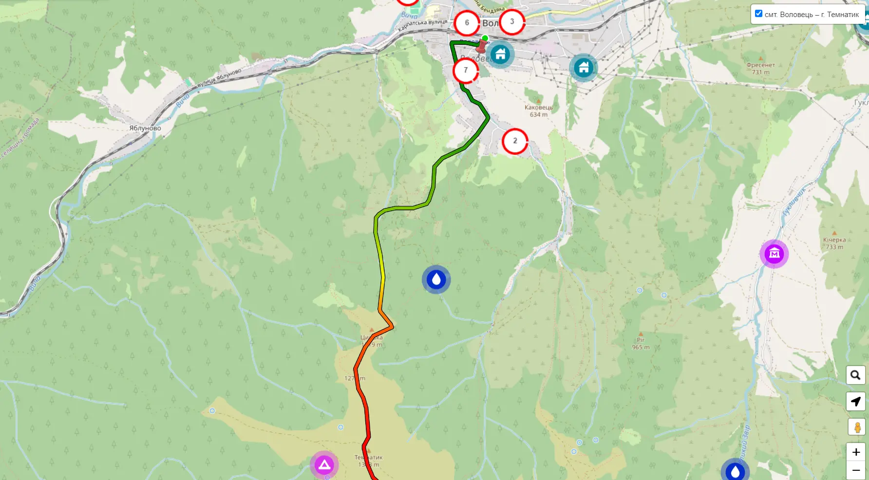
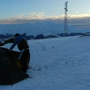
Routes of climbing Temnatyk
On Tomnatyk from Volovets
| 🔰 Start |
From Volovets station |
| 🚶 Walking distance |
6.5 km |
| 🕒 Approximate time of ascent |
4 hours |
| ⬆ Rise |
From 546 to 1343 m |
What’s interesting nearby?
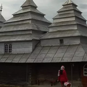
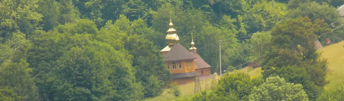
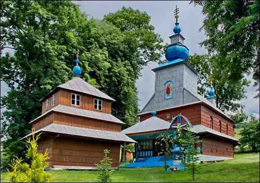
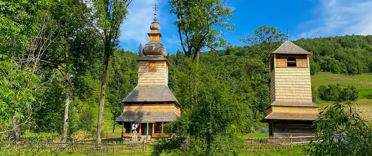
The wooden church made of spruce beams, which has been preserved in Verkhniy Studenyi, is the most developed type of
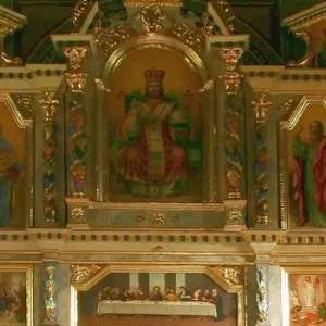
According to the Bible, in the spring of 7 April, the archangel Gabriel brought the good news that the Virgin
The church complex was built in 1808, as evidenced by the inscription carved on the door frame. The church is
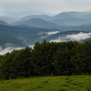
Temnatyk (Tomnatyk) is a peak in the Ukrainian Carpathians with a height of 1343 m, located within the Transcarpathian region.
Mount Plai, or Borzhava as it is also known, is located in the Ukrainian Carpathians and belongs to the Borzhava
The village of Abranka, Mukachevo District, Zakarpattia Region, was founded in 1611. In 1692, historical sources mention a church in
It is hard to imagine that a traditional Transcarpathian village did not have a church until the end of the
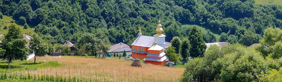
The current church of St. Basil in the village of Zadilske, Mukachevo district, Zakarpattia region, was most likely built by
For the first time, the village of Tyshiv of the Mukachevo district of the Transcarpathian region was mentioned in historical
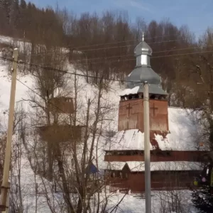
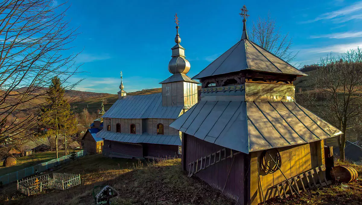
There is an interesting wooden church - the Church of the Holy Spirit - in the village of Kotelnytsia, Mukachevo
The church in the village of Bilasovytsia was most likely built by the same craftsmen as the church in the
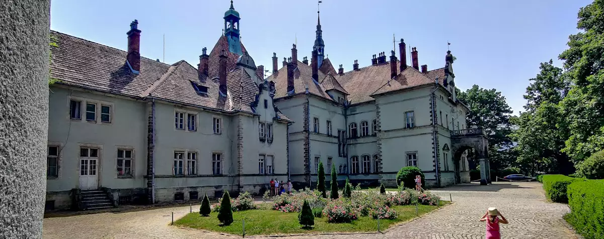
In 1840, the owners of the Mukachevo-Chinadiyovo dominion, the Counts Schönborn, built a wooden house in the Berehvar tract as
One of the most interesting and attractive places for tourists in Transcarpathia is the magical high-mountainous Lake Synevyr. It is
The Church of the Descent of the Holy Spirit was built in the 18th century with elements of the Baroque
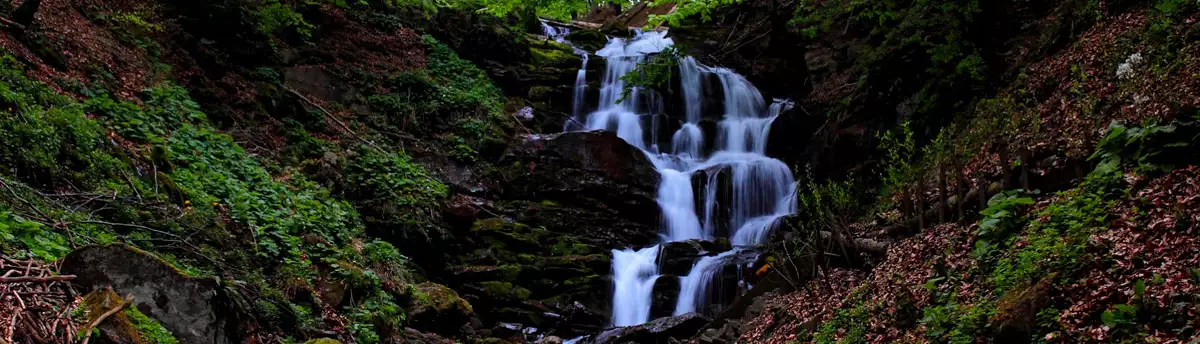
A visit to the uniquely beautiful Shypit waterfall will be no less impressive. It originates from a deep underground spring,
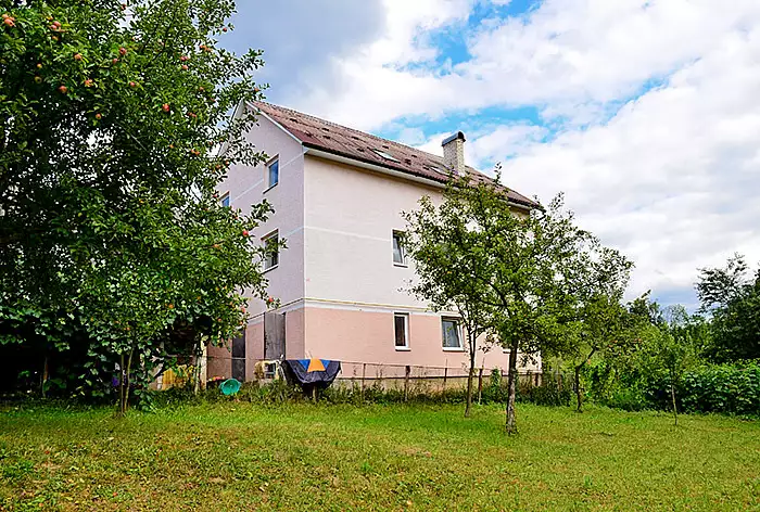
St. Gagarina, 2, Volovets
+380 ....
from 200₴/night
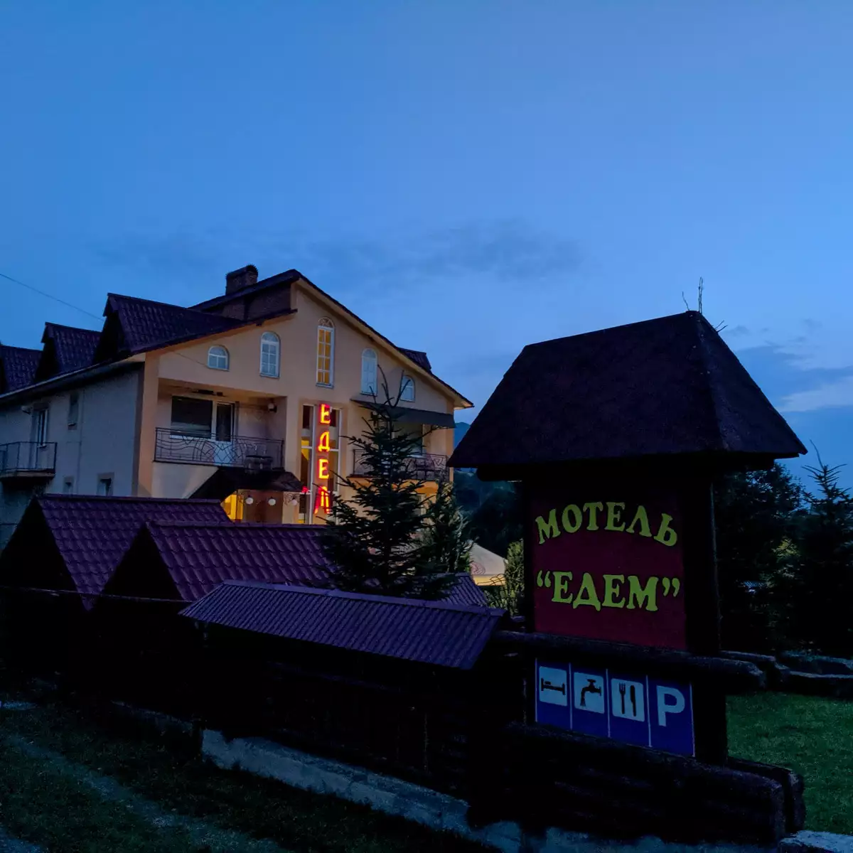
St. Karpatska, 192A, Volovets
+380 ....
from 612₴/night
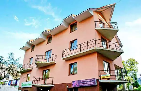
St. Shevchenko, 1A, Volovets
+380 ....
from 600₴/night
Leisure activities nearby
Volovets, Transcarpathian region.
+380 ....
3 days / 2 nights
From 2295 ₴
1 day (14 hours)
From 1100 ₴