Ski resort in the village of Ust-Chorna
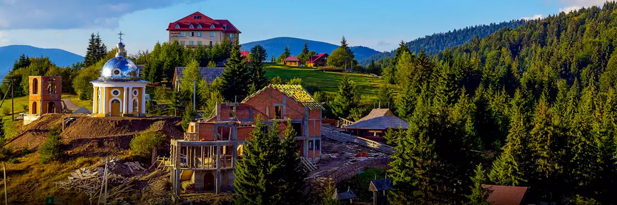
The village of Ust-Chorna in the Tyachiv district of the Transcarpathian region is located at the headwaters of the Teresva River, which is formed by the confluence of the Brusturyanka and Mokryanka rivers.
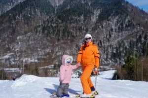
Nowadays, Ust-Chorna is a good option for winter rest. The village is located in the Gorgany Mountains at an altitude of 553 m. There are ski slopes of varying difficulty levels with a length of about 1000 m. They are equipped with rope tows and chair lifts with a length of 250 m, 400 m and 750 m.
| 🗺 Location |
N48°19′59″ E23°55′20″ |
| 🚠 Bugel excerpts |
2 (250 and 400 m) |
| 🚠 Chair lift |
1 (750 m) |
| ⛰ Total length of tracks |
About 1 km |
| ⛰ Ratrak treatment |
No |
| 🧭 Distance from Kolochava |
21 km |
| 🚙 Road for |
Auto, on foot |
| 🏕 Stop with a tent |
No |
| 🏡 Housing nearby |
Ust-Chorna, Kolochava |
| ☕ Cafes and shops |
Ust-Chorna, Kolochava |
| 🌍 Address |
Ust-Chorna village, Tyachiv district, Transcarpathian region |
History of the village of Ust-Chorna
The first inhabitants of this village were German immigrants. In this part of Transcarpathia The process of German colonisation began in 1775. The Germans were engaged in wood harvesting and fusing. First, the Germans settled in the village of Nimetska Mokra. At that time, there were only about a dozen Verkhovyna houses there. Fifty years later, the number of German colonists grew so much that they were forced to go down the Teresvianka valley to find a place for a new settlement. They chose the extended part of the valley. A surprisingly picturesque wide field among the mountains was an ideal option for building a new settlement. For its beauty and luxury, the Germans named the new settlement, founded in 1825, Königsfeld, which means “Royal Field”.
The modern name of Ust-Chorna appeared thanks to the Czechs in the 1920s and 1930s. The fact is that the Black Stream flows into the Teresva River. It was during the Czechoslovakian period that Ust-Chorna became a popular destination for recreation and hiking.
The temperature in the village of Ust-Chorna now:
What to do and how to have fun?
The Tereblya is a right tributary of the Tysa. The river is over 90 km long. During calm periods, the
On the territory of the Khust district of the Transcarpathian region, near the village of Vilshany, a fabulous picture of
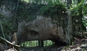
Near the villages of Mala Uholka, Velyka Uholka and Uhlya, in the interfluve of the Tereblya and Teresva rivers, the
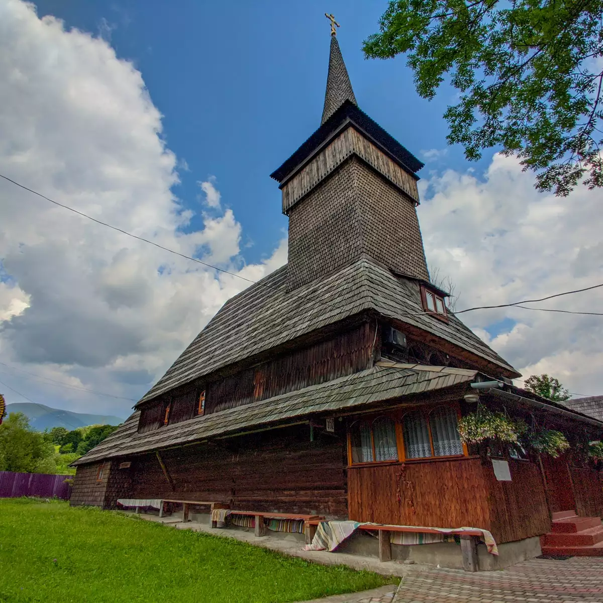
The most famous historical landmark of the village of Negrovets, Khust district, Zakarpattia region, is the wooden Michael Church with
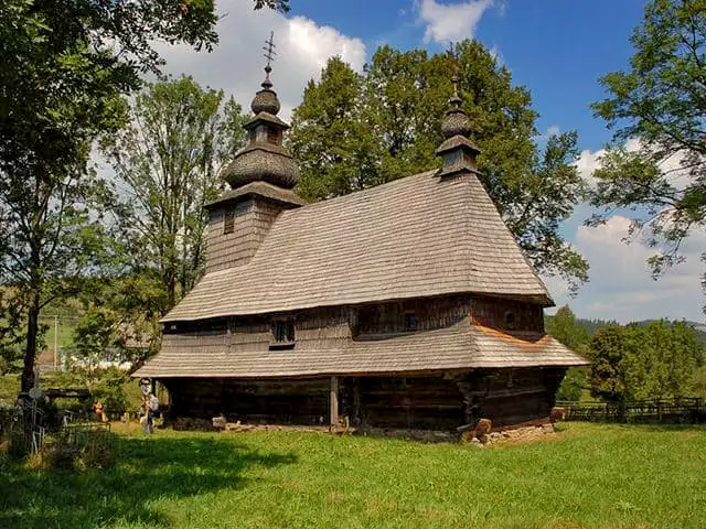
The Church of the Descent of the Holy Spirit was built in the 18th century with elements of the Baroque
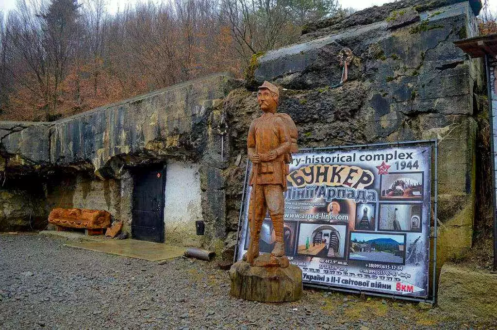
During the Second World War, the Hungarian government built a military defense line in the north-eastern Carpathians - the Arpad
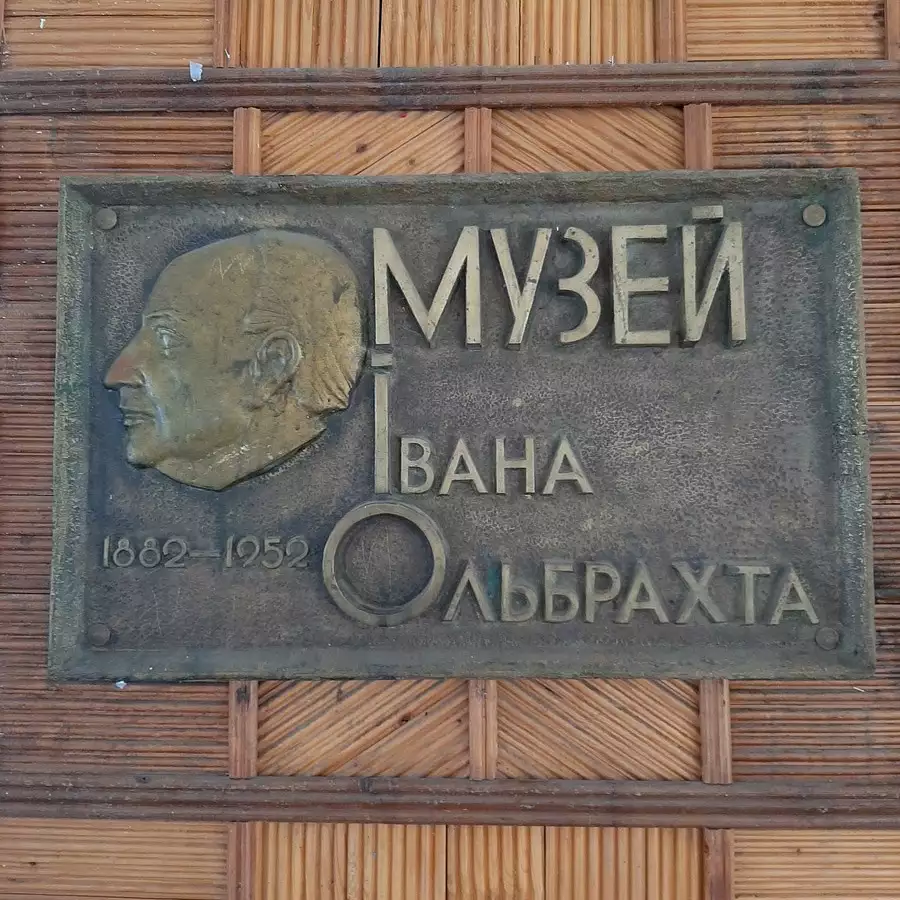
The ethnographic center of the famous Czech writer I. Olbracht, where he collected national material for his famous works, is
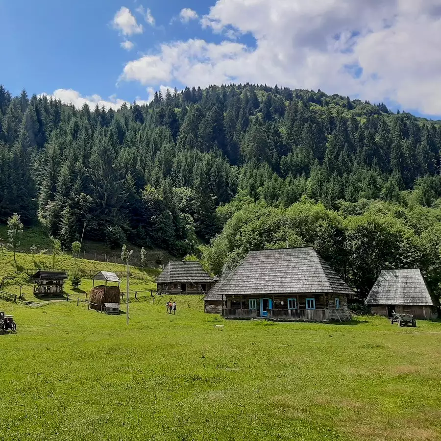
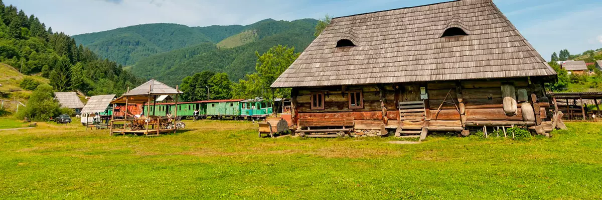
First of all, you need to visit the village-museum of Kolochava, where 10 unique objects of cultural heritage with a
Excursions to interesting locations nearby
12 hours
From 800 ₴
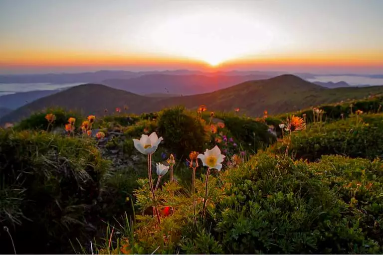
7 days / 6 nights
From 2225 ₴
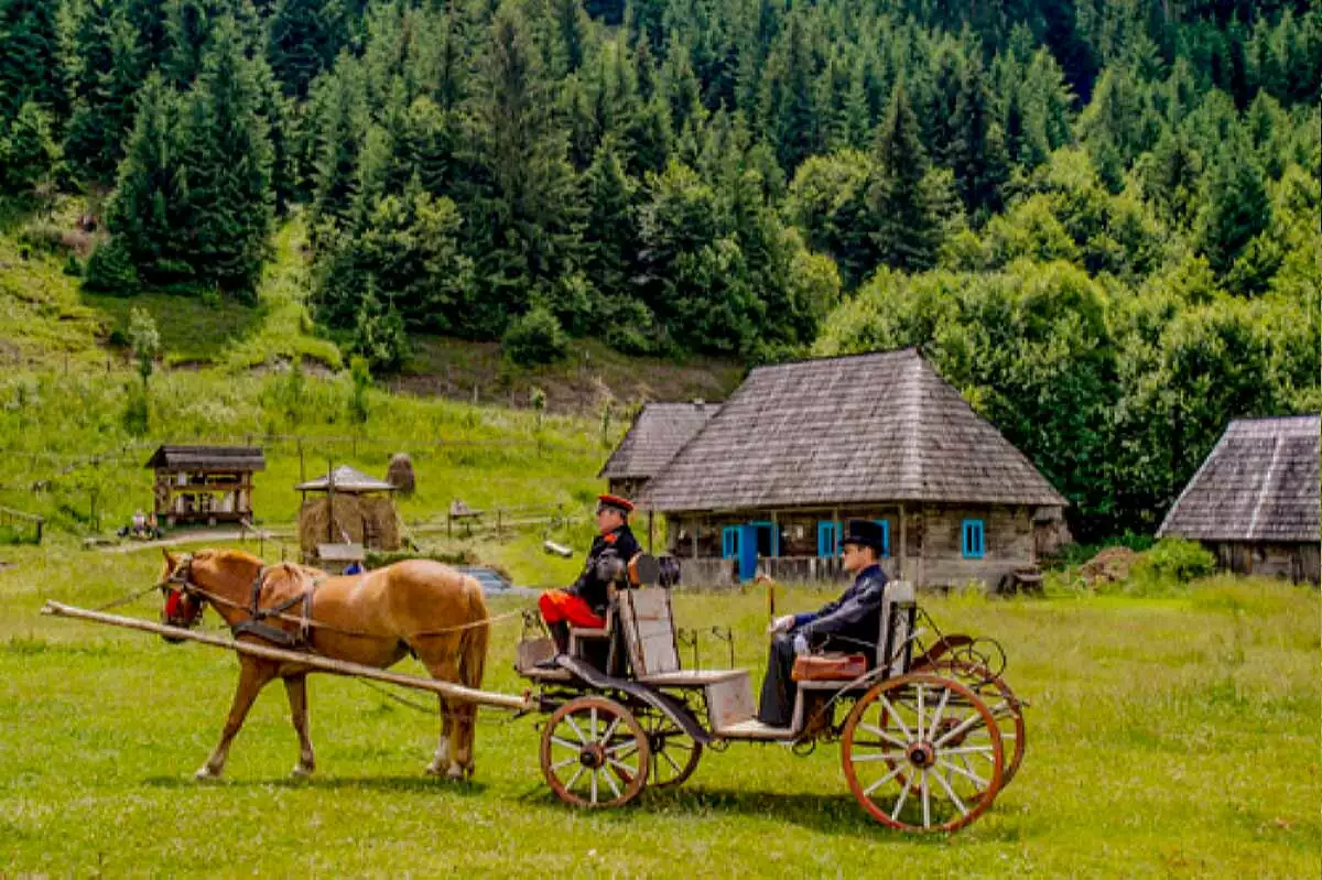
3 days / 2 nights
From 2295 ₴
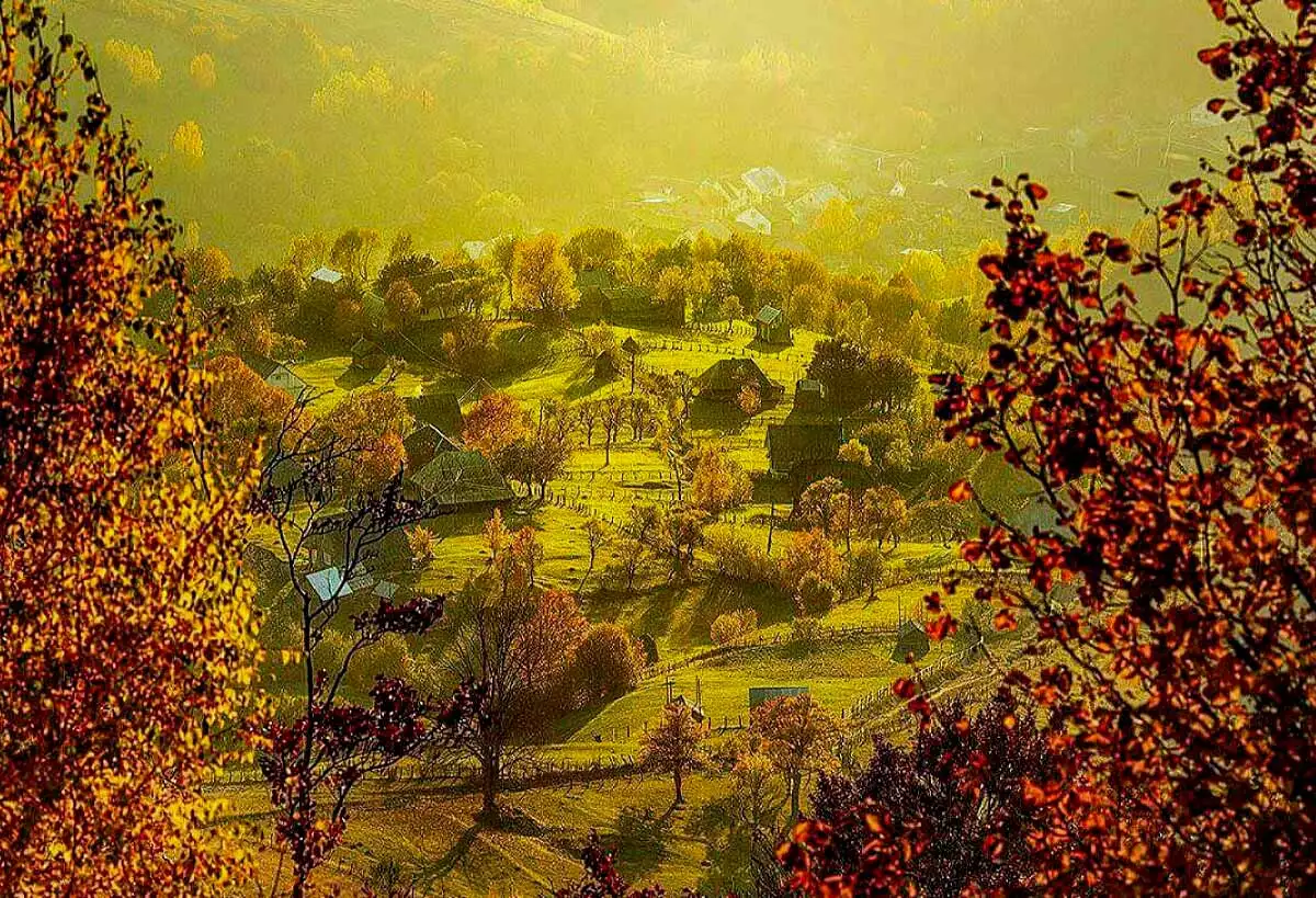
1 day (14 hours)
From 850 ₴
Skiers mostly stay at the popular Yalynka tourist centre.
76 Shevchenka St., Kolochava village
+380 ....
from 700₴/day
81A Shevchenko St., Kolochava village
+380 ....
from 300₴/day
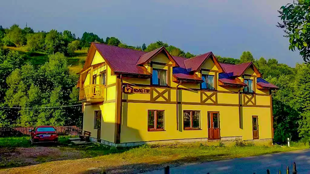
street Druzhbi, 243a, Kolochava
+380 ....
from 600 ₴/night
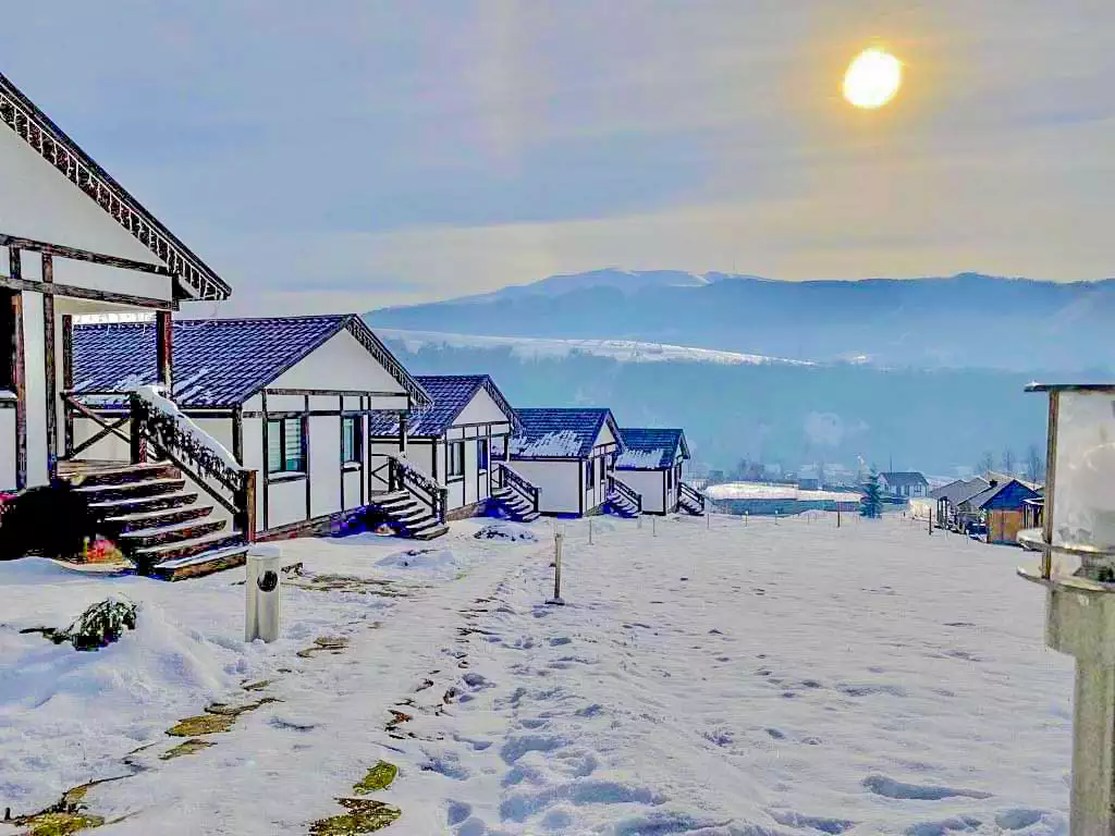
Kolochava, Zakarpattia region, 90043
+380 ....
from 2000 ₴ / night
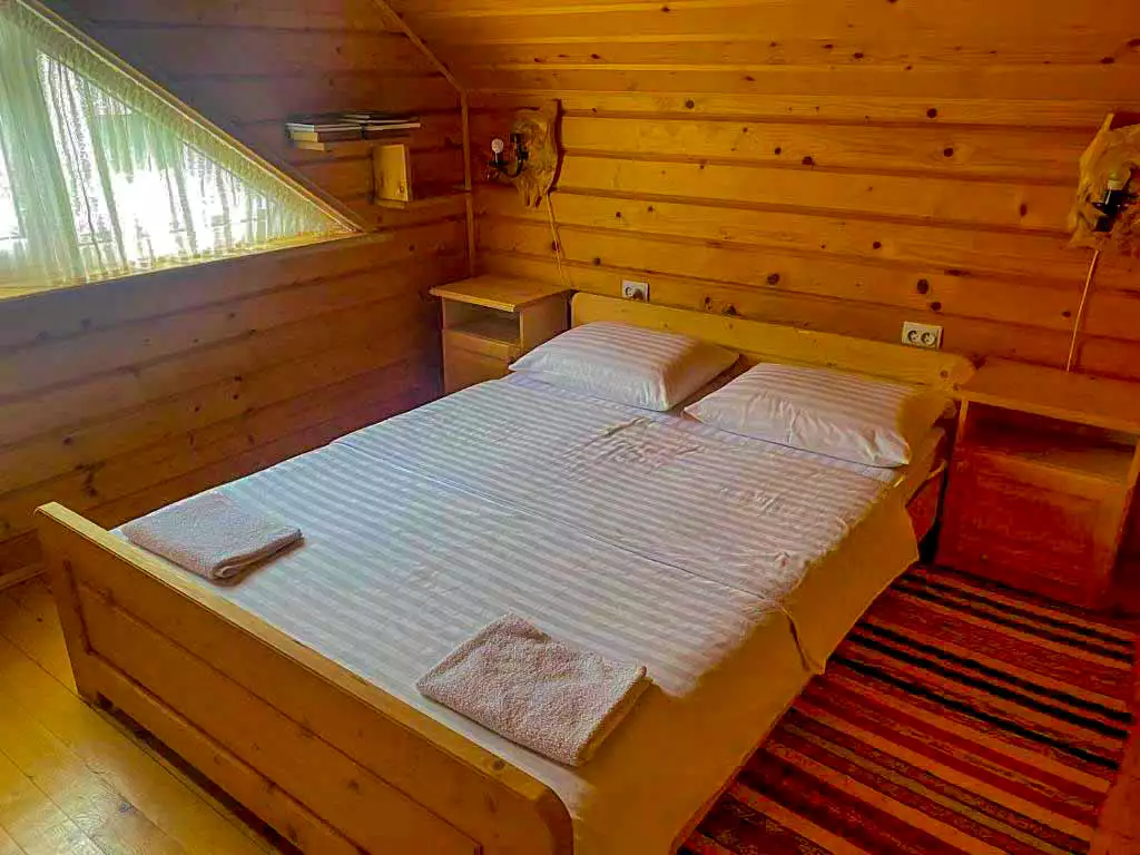
20 Борканюка, Колочава, Закарпатська область, 90043
+380 ....
Transcarpathian region, Khust district, Kolochava village, 76 Shevchenko street
+380 ....
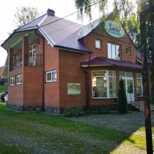
Transcarpathian region, Khust district, Kolochava village, 81A Shevchenko street
+380 ....
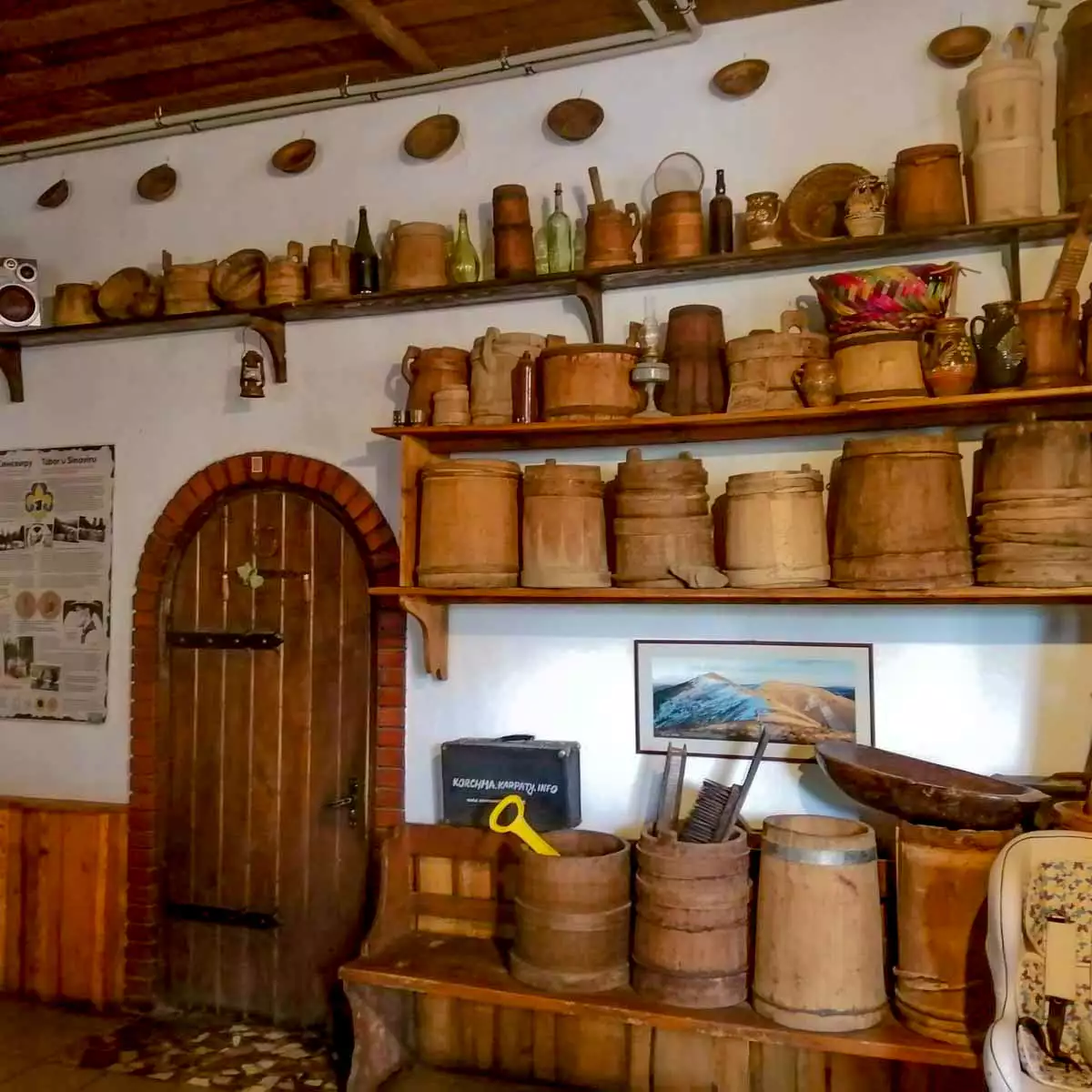
Shevchenko Street, 50B, Kolochava, Zakarpattia region, 90043
+380 ....
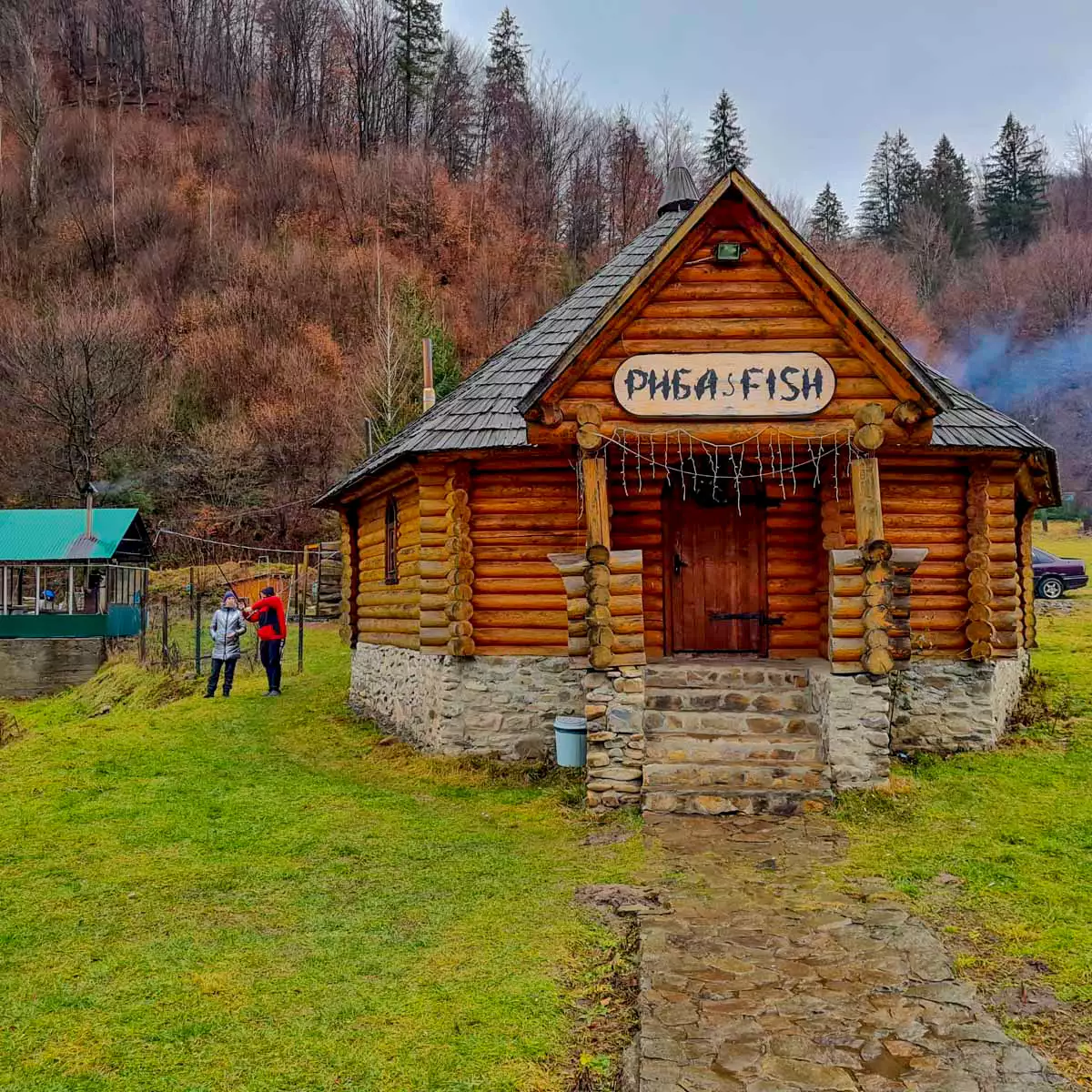
Ukraine, Zakarpattia region, Khust district, Kolochava village, Vozzyednannya street, 22
+380 ....
