Додати об'єкт до каталогу

Надсилайте актуальну інформацію та отримуйте більше цільових клієнтів. Ми розмістимо ваш об’єкт у нашому каталозі та покажемо поруч із локаціями, а також у загальному каталозі, це безкоштовно!

Lake Nesamovyte

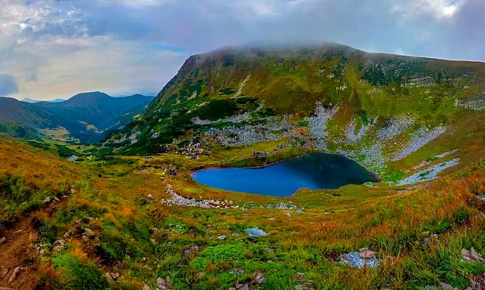
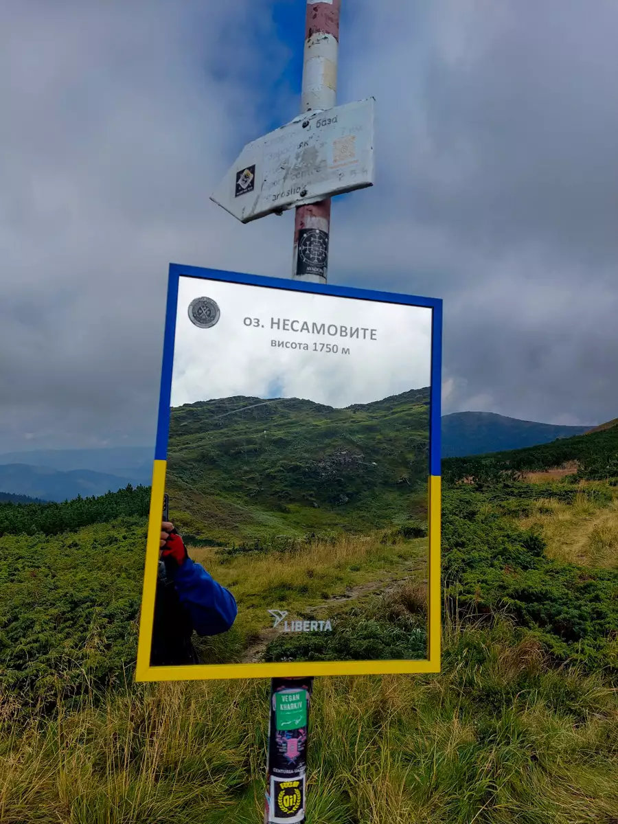
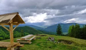
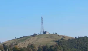
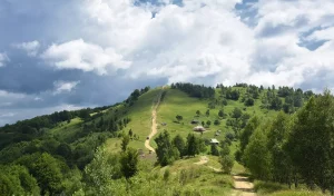
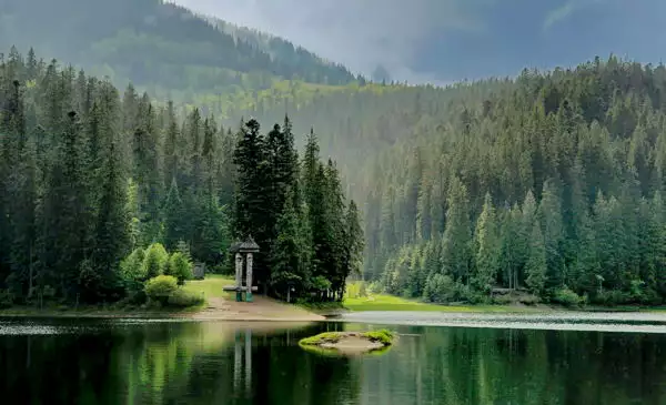
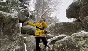
Lake Nesamovyte, located on the slope of Mount Turkul, attracts the attention of tourists on the northeastern slopes of the main ridge of Montenegro. It lies at an altitude of 1750 meters. The area of the lake is 0.3 hectares, the depth is 1.5 meters. The lake has no surface runoff and is replenished with water due to precipitation.

Озеро Несамовите

Photo and video of Lake Nesamovyte

A brief overview

🗺 Location N48°7’20” E24°32’21”
🏔 Height above sea level 1750 m
🌊 Area 2500 m²
💧 Maximum depth 1.5 m
🧭 Distance from Mount Hoverla 5.5 km
🚙 Road for On foot
🏕 Stand with a tent Yes
🏡 Housing nearby Lazeshchyna
☕ Cafes and shops Jasinya

Legends of Lake Nesamovyte

Residents of the villages near Montenegro firmly believe that the souls of all murderers or people who committed suicide fall into Lake Nesamovyte. If you throw a stone into it, the shadows of sinners will fly out of the bottomless lake and a terrible storm with hail will begin. The element also rages when someone dies a sinful death. Then the spirits of the lake welcome the replenishment with thunder and hail.

One of the legends tells about a lost Hutsul who decided to spend the night on the banks of the Crazy. He built a fire and began to prepare dinner. When he scooped water from the lake with a cauldron, thunder broke out and a horse-drawn carriage appeared. A stranger drove up to the man and offered shelter. Hutsul agreed, got into the carriage, and she drove straight into the lake. The water parted, and a beautiful palace appeared. The guests were greeted with joyful songs and dances, and the tables were overflowing with food and drinks. When midnight came, Hutsul saw how people around began to collect ice and was very surprised by this. And the hospitable host explained that they were preparing hail. I realized to my husband that I was dealing with evil spirits and crossed myself three times. In an instant, everything disappeared and the waves threw him to the shore of the lake.

It should be noted that the largest amount of hail in Ukraine falls on the Pozhizhevsk plain, which is located at a distance of three and a half kilometers from Lake Nesamovyte. There are an average of 13 sunny days a year.

How to get to Lake Nesamovyte

 Walking route

🔰 Start Dzembronia
🚶 Walking distance 15 km
⬆ Rise from 900 m to 1757 m

On the map

What is interesting nearby

Other interesting places

Парки
Етно-парк «Полонина Перці» в Яблуниці
"Polonyna Pertsi" is the most interesting place for a family rest in Yablunytsya. This incredibly picturesque meadow has become a
Гори
Гора Хом’як
Mount Khomyak is located at a distance of almost 6 km from the village of Tatariv and is part of
Виставки
Арт-простір Zenko Foundation
A tourist attraction on the territory of the Koruna complex in Tatariv village is a wonderful contemporary art gallery -
Музеї
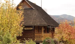
Музей гуцульського побуту у Татарові
This ethnographic museum is located in the village of Tatariv on the territory of the Koruna recreation complex. The museum's
Музеї
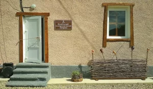
Музей історії та старожитностей Татарова
To get a deeper insight into the history and traditional way of life in Tatariv, it is worth visiting the
Гори
Гора Костел
Among the mountain peaks around Mykulychyn, the first one worth climbing is the majestic Mount Kostel (also known as Horhan
Гори
Гора Ягідна
Another mountain peak near the village of Mykulychyn that is definitely worth a visit is the 1,216-metre-high Yahidna Mountain. It
Гори
Гора Рокита Велика
While holidaying in the village of Mykulychyn, you should definitely find time to travel to the top of the mighty
Гори
Гора Маковиця
If you intend to climb to the top, which was the scene of fierce battles, the best option near Mykulychyn
Водойми
Чемегівський каньйон
The extremely picturesque Chemehivskyi Canyon has become a very popular natural location in the village of Mykulychyn. Instagram bloggers and
Водоспади
Водоспад Капливець
The Kaplyvets waterfall is located 5 km from the Mykulychyn railway station. It is located on the territory of the
Водоспади
Нарінецький водоспад
The Narinetskyi single-cascade waterfall is 10 metres high. It is located between the villages of Mykulychyn and Tatariv in a
Архітектура
Велика карпатська гойдалка
On the outskirts of Mykulychyn village, you can ride one of the most famous swings in Ukraine. It is located
Броварні
Броварня “Микуличин”
One of the symbols of Mykulychyn village is the famous Mykulychyn Brewery. It was opened relatively recently - in 2002.
Храми
Церква Пресвятої Трійці у Микуличині
In the middle of the nineteenth century, it was decided to build a new wooden church in Mykulychyn not far
Музеї
Музей етнографії та екології Карпатського краю
At the end of your visit to the museums in Yaremche, you should definitely visit the Museum of Ethnography and
Музеї
Музей мольфарства у Яремче
Fans of mysticism and magic should definitely visit the Museum of Molfarism in Yaremche. It features ancient household items used
Музеї, Храми
Петропавлівська церква (Музей Шептицького)
While holidaying in Yaremche, tourists will be interested in visiting the modern wooden church of the Holy Apostles Peter and
Зоопарк, Парки
Екопарк «Ведмежа гора»
Not far from the mini-zoo in Yaremche, there is another interesting location with animals - an eco-park with a petting
Музеї, Парки
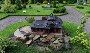
Парк-музей «Карпати в мініатюрі»
This unique museum attracts tourists like a magnet. It was initiated in 2015 by the Carpathian National Park and the
Сироварні, Ферми
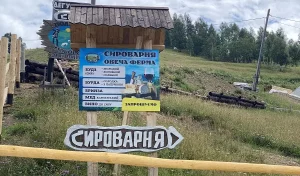
Фермерське господарство «Полонина Маковиця»
When you are on holiday in Yaremche, you should definitely visit the cheese dairy of the Polonyna Makovytsia farm to
Гори
Гора Синячка
Mount Synyachka, with a height of 1400 metres, is located 20 km from Yaremche. It takes 6 hours to get
Гори
Скеля «Слон» у Яремче
At a distance of only 5.5 km from the centre of Yaremche, there is the Elephant Rock, which is formed
Гори
Скеля Білий Камінь
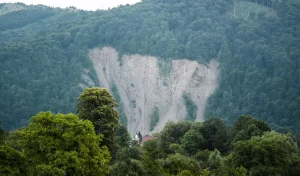
The White Stone Rock is located on the outskirts of Yaremche (the northern part of the city is called Dora).
Гори
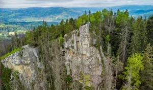
Скелі Довбуша
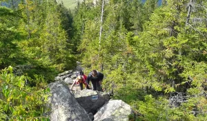
The rock and cave complex Dovbush's Rocks is located 7.7 km from the central part of Yaremche, Ivano-Frankivsk region, in
Зоопарк
Міні-зоопарк «Вольєрне господарство Карпатського національного природного парку»
If you come to Yaremche with children, you should definitely visit the local mini-zoo. It was established in 1992 with
Гори
Яблуницький перевал
The grandeur of the Yablunytskyi Pass is impressive. It is one of the most picturesque in Ukraine. It is located
Водоспади
Женецький Гук
Zhenetskii Huk (Zhenetski Vodospad) is a waterfall in the Ukrainian Carpathians, on the Zhenets stream (a left tributary of the
Водойми
Чани Татарів
The climatic resort of Tatariv has long been very popular among tourists. It attracts them with the majesty of the
Заповідники
Карпатський національний природний парк
Carpathian National Nature Park is a national park in Ukraine, on the territory of Ivano-Frankivsk region. Created to preserve the
Музеї
Музей гуцульського побуту
At an altitude of 700 m above sea level. near an elegant wooden house, the honored worker of culture M.
Водойми
Озеро Несамовите
Lake Nesamovyte, located on the slope of Mount Turkul, attracts the attention of tourists on the northeastern slopes of the

Tours and excursions

Accommodation nearby

Hotel
Готельний комплекс «Під Хом’яком»
Tatariv village, st. Nezalezhnosti, 38
+380 ....
from 1580 ₴/night
Hotel
Готель «Коруна»
Tatariv village, st. Pigivska, 660
+380 ....
from 2260 ₴/night
Hotel
Villa Billa
st. T. Shevchenko, 753, Tatariv village
+380 ....
from 1195 UAH/day

Leisure nearby

Cafe
Ресторан «Прут»
St. Nezalezhnosti, 14, Tatariv village
+380 ....
Restaurant
Ресторан «Білі Горвати»
St. Nezalezhnosti, 565a, Tatariv village
+380 ....
The hut restaurant
Колиба «Гуцульський двір»
St. Nezalezhnosti, 453, Tatariv village
+380 ....