Додати об'єкт до каталогу

Надсилайте актуальну інформацію та отримуйте більше цільових клієнтів. Ми розмістимо ваш об’єкт у нашому каталозі та покажемо поруч із локаціями, а також у загальному каталозі, це безкоштовно!

Ski resort Mizhhirya

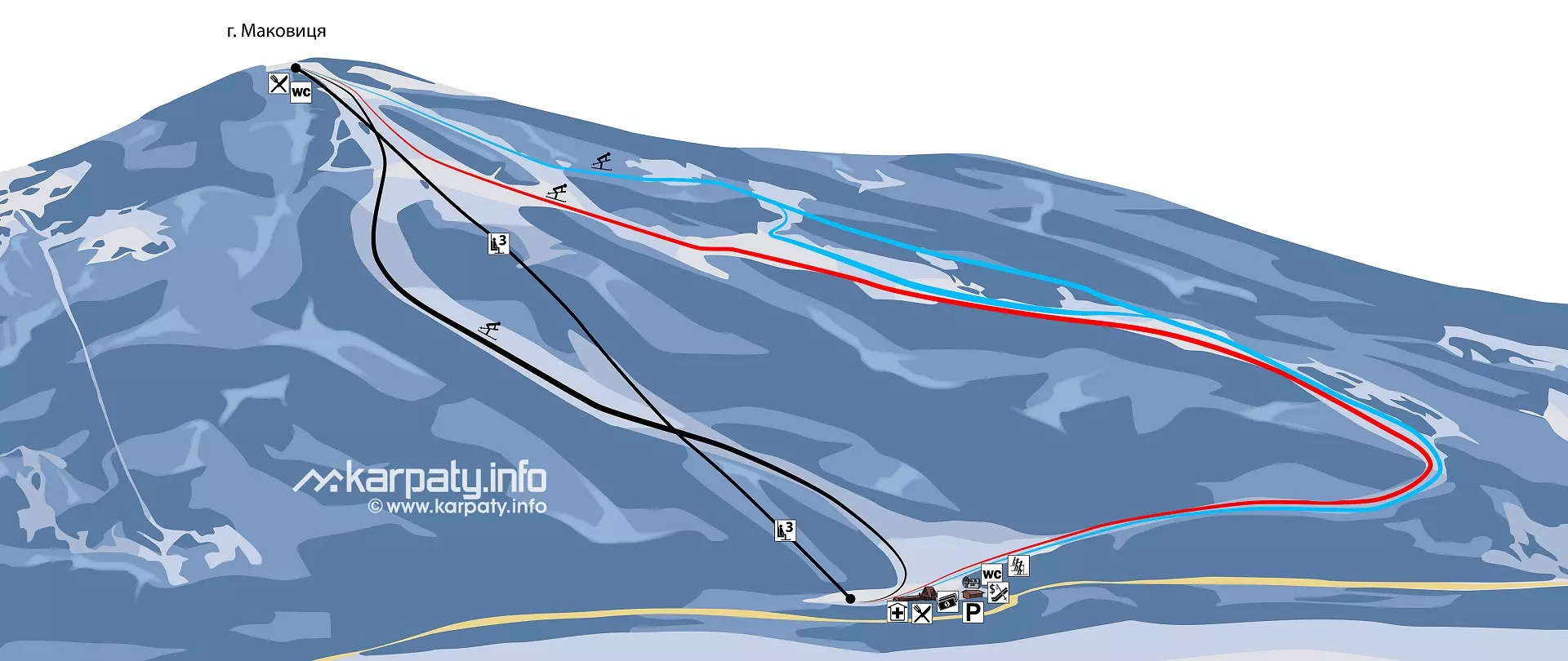
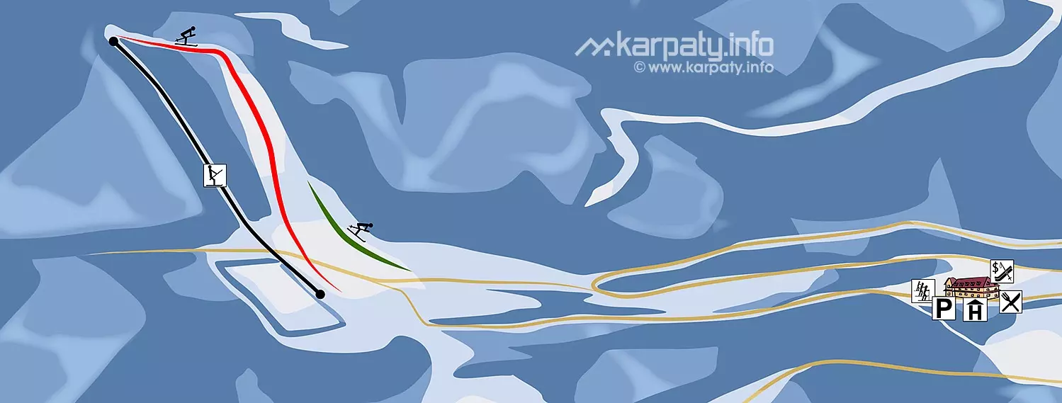
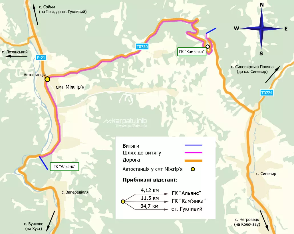
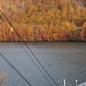
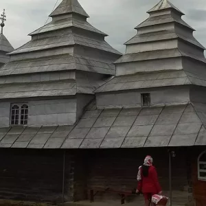
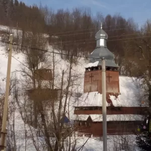
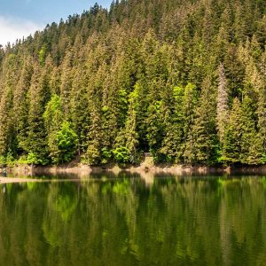
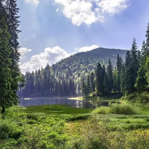
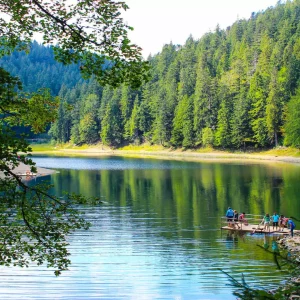
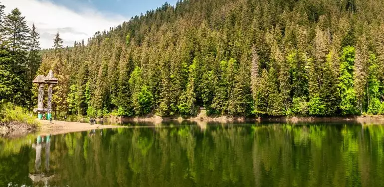
The extremely picturesque village is located in a mountain hollow at the foot of the Kamyanka (1587 m) and Kuk (1365 m) mountains. Nearby flows the rapid river Rika, in the crystal clear water of which the landscapes of the Borzhava and Chervona meadows are reflected. In winter Mizhhirya becomes extremely popular among tourists and travellers who love skiing. Two well-known ski resorts operate in Mizhhirya for them:

  • «Alliance»;
  • «Kamyanka».
Гірськолижний курорт Міжгір’я

A brief overview of GLC Kamyanka

🗺 Location N48°32’45.8″ E23°35’48.7″
🏔 Number of extracts 1 boom lift
⛰ Bugel length 680 m
🏔 Height of Mount Kamianka 1587 m
🎿 Number of tracks 3
⬇⬆ Height difference Over 130 m
⚫🔴🟢 Level of difficulty Initial, middle
⛰ Ratrak Processing Yes
🧭 Distance from Mizhhirya 12 km
🚙 Road for Auto, on foot
🏕 Stop with a tent No
🏡 Housing nearby Mizhhirya
☕ Cafes and shops Mizhhirya

A brief overview of GLC Alliance

🗺 Location N48°29’51.6″ E23°29’46.9″
🏔 Number of extracts 1 chair lift
🏔 Height of Mount Makovitsa 750 m
🎿 Number of tracks 2
🏂 Snowboarding track Yes
⛰ Total length of tracks More than 2 km
⬇⬆ Height difference 300 m
⚫🔴🔵 Difficulty level Medium
⛰ Ratrak Processing Yes
🧭 Distance from Mizhhirya Near
🚙 Road for Auto, on foot
🏕 Stop with a tent No
🏡 Housing nearby Mizhhirya
☕ Cafes and shops Mizhhirya

The temperature in Mizhhirya is now:

10.9o C   |   51.5o F

Photos of winter rest in Mizhhirya

On the map

Map of the ski slopes of the resort “Alliance”

Карта гірськолижних спусків курорту «Альянс»

Map of the ski slopes of the resort “Kamyanka”

Карта гірськолижних спусків курорту «Кам'янка»

General map of ski slopes in Mizhhirya

Загальна карта гірськолижних спусків Міжгір'я

Map of attractions in Mizhhirya

What to do and have fun with besides skiing?

The area is rich in mineral waters carbon dioxide-chlorocalcium type (53 explored sources). The most famous of them are:

  • Soymovske.
  • Vuchkovske.
  • Kolochavske.
  • Verkhnobystrianske.
  • Kelechynske, whose water is used to treat radiation sickness.
Теребле-Ріцька гідроелектростанція
On the territory of the Khust district of the Transcarpathian region, near the village of Vilshany, a fabulous picture of
Церква святого Миколая в селі Верхній Студений
The wooden church made of spruce beams, which has been preserved in Verkhniy Studenyi, is the most developed type of
Церква Благовіщення Пресвятої Богородиці в селі Нижній Студений
According to the Bible, in the spring of 7 April, the archangel Gabriel brought the good news that the Virgin
Церква Святого Архангела Михайла в селі Буковець
The church complex was built in 1808, as evidenced by the inscription carved on the door frame. The church is
Церква Введення Богородиці
The first written mentions of the village of Torun, Khust district, Zakarpattia region, can be found in documents of the
Дмитріївська церква
In the center of the village of Repynne, to the left of the road, you can see the silhouette of
Свято-Михайлівський храм
The most famous historical landmark of the village of Negrovets, Khust district, Zakarpattia region, is the wooden Michael Church with
Синевир
One of the most interesting and attractive places for tourists in Transcarpathia is the magical high-mountainous Lake Synevyr. It is
Собор Святого Духа
The Church of the Descent of the Holy Spirit was built in the 18th century with elements of the Baroque
Етнографічний центр І. Ольбрахта
The ethnographic center of the famous Czech writer I. Olbracht, where he collected national material for his famous works, is
Скансен у Колочаві
First of all, you need to visit the village-museum of Kolochava, where 10 unique objects of cultural heritage with a
Реабілітаційний центр бурого ведмедя
Children should definitely visit the rehabilitation center for brown bears in the Synevyr National Nature Park. It is the only
Водоспад Шипот
A visit to the uniquely beautiful Shypit waterfall will be no less impressive. It originates from a deep underground spring,

Excursions to interesting locations nearby

Where to stay?

With a detailed overview of the best accommodation options in Mizhhirya can be found on the relevant pages of our website:

Готель «Shulc»
Mizhhirya, str. Kotlyarevsky, 4
+380 ....

from 900₴/night
Санаторій «Верховина»
Mizhhirsky district, village Soymy, 1
+380 ....

from 450 ₴/day
Restaurant and hotel complex "Orion"
st. Shevchenka, 90, Mizhgirya
+380 ....

from 650 ₴/night
Restaurant and hotel complex "Non stop"
st. Nezalezhnosti 63, town Mizhgirya
+380 ....
from 589 UAH/night
Hotel "Fortuna" in Mizhhiria
Mezhhirya, st. G. Dobry, 30
+380 ....

from 1045 ₴/night
Еко готель “Ізки”, Міжгір’я
village Izky, Khust district
+380 ....
from 1000 ₴/night
Ресторанно-готельний комплекс «Арніка», Міжгір’я
Synevyrska Polyana village, Krasnyi tract
+380 ....

from 1500

Where to eat?

Ресторан «Фортуна» (Міжгір'я)
30, Heorhiya Dobry str., Mizhhirya, Transcarpathian region, Ukraine
+380 ....
Готель-ресторан «Оріон»
St. Shevchenko, 90, town Mizhgirya, Khust district, Transcarpathian region, Ukraine, 90000
+380 ....
Spruce house
st. Turyanitsy, 6, town Mizhgirya, Khust district, Transcarpathian region, Ukraine, 90000
+380 ....
Restaurant Grunok (Under the waterfall)
Pylypets, 343-a, Khust district, Transcarpathian region, Ukraine, 90000
+380 ....
Restaurant brewery ZIP
st. Nezalezhnosti, 4, P21, town Mizhgirya, Khust district, Transcarpathian region, Ukraine, 90000
+380 ....
Trembita Restaurant in Mizhhiria
Khustska Street, 62A, town Mizhgirya, Khust district, Transcarpathian region, Ukraine, 90000
+380 ....
Restaurant of recreation center Kamyanka
Synevyr Pass, 1, town Mizhgirya, Khust district, Transcarpathian region, Ukraine, 90000
+380 ....

Detailed weather