Додати об'єкт до каталогу

Надсилайте актуальну інформацію та отримуйте більше цільових клієнтів. Ми розмістимо ваш об’єкт у нашому каталозі та покажемо поруч із локаціями, а також у загальному каталозі, це безкоштовно!

Ski resort Kobyletska Polyana

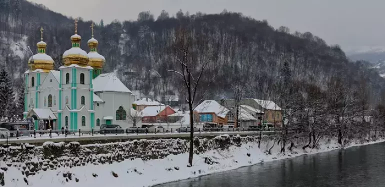
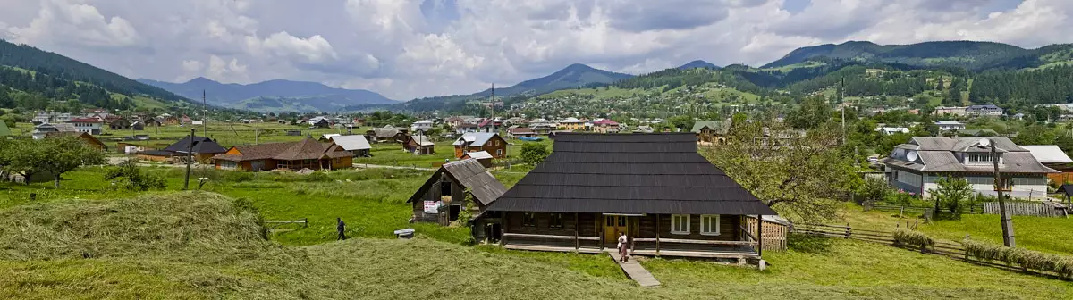
Kobyletska Polyana is a village in Rakhiv district, Transcarpathian region, located at the foot of Kobylya mountain (1680 m, 48 4′ 56″ N, 24 4′ 29″ E).

The first written mention of Kobyletska Polyana dates back to the XV century. In the late 18th century, Kobyletska Polyana became a centre of metallurgical production. In the first half of the XIX century, sulphurous mineral springs were discovered in the village, on the basis of which healing baths were opened. Since then, for almost 200 years, Kobyletska Polyana has been attracting tourists and holidaymakers from all over the world.

Гірськолижний курорт Кобилецька Поляна

Winter rest in the village of Kobyletska Polyana

Skiing enthusiasts are especially fond of spending their holidays here. The ski slopes in Kobyletska Polyana are very convenient for beginners and active winter recreation.

The temperature in Kobyletska Polyana now:

19.5o C   |   67.0o F

Description of the slopes

🗺 Resort location N48°02′28″ E24°03′52″
🎿 Number of tracks 2
↔ Track width About 100 m
⛰ Height difference 50-80 meters
🟢 Difficulty level Initial
🏔 Total length 1300 m
🚡 Elevators 2 bugel excerpts
🧭 Distance from Rakhiv 40 km
🚙 Road for Auto, on foot
🏡 Housing nearby Kobyletska Polyana, Rakhiv
☕ Cafes and shops Kobyletska Polyana, Rakhiv
🌍 Address 57 Turystychna Street, Kobyletska Polyana village, Rakhiv district, Transcarpathian region

There are two ski slopes in Kobyletska Polyana, 100 metres wide and 500 and 800 metres long, with a height difference of 50 and 80 metres respectively. They are located on the territory of the Trembita resort complex. All the necessary infrastructure for a ski resort is in place. There are two drag lifts.

On the map

Most interesting places nearby

At a distance of 3 kilometres from Trembita, the Pereval tourist shelter is located at an altitude of 850 metres on the pass, where ski trips are organised.

Скелі закоханих у селі Костилівка Рахівського району
The cliff-rock or Lovers' Rocks above the village of Kostylivka in the Rakhiv district of Transcarpathian region is a Ukrainian
Старі фото обсерваторії білий слон
From 1936 to 1938, on the initiative of the Polish government, an astronomical observatory was built on Black Mountain (Pip
Озеро Бребенескул
The water in the pond is very cold, despite its shallow depth, which reaches a maximum of 2.8 metres. The
Легенда гори Близниця
The highest mountain in the Svydovets range of the Carpathians is Mount Blyznytsia, which is 1881 metres high. One of
Церква святого Миколая Чудотворця
One of the largest villages in the Tyachiv district is Nyzhnya Apsha (until 2004, Dibrova). The population of the village
Верхня церква Миколи Чудотворця
Two historically valuable wooden churches have been preserved in the Romanian village of Seredne Vodiane (formerly known as Seredne Apsha,
Церква святого Миколая
In the Romanian village of Serednie Vodyane (formerly known as Serednie Apsha, population almost six thousand) in the Rakhiv district
Собор Зіслання Святого Духа
The temple with a majestic main facade was built on the central square of the city in the period from
Роза Вітрів (гора Лиса)
We recommend all visitors to Rakhov to climb Mount Roza Vitryv, from which you can see all the Ukrainian two-thousanders.
Римо-католицький костел св. Яна Непомука
One of the oldest buildings in the city is the Roman Catholic Church of St. John Nepomuk. The history of
Центр Європи біля Рахова
The geographic center of Europe, marked with a geodetic sign, is located between the settlements of Dilove and Kostylivka of
Музей екології гір та історії природокористування в Українських Карпатах
The territory of the biosphere reserve is located in Rakhiv district. The Museum of Mountain Ecology and History of Nature
Музей гуцульської Бриндзі
The Museum of Hutsul Bryndza in the Ukrainian Carpathians is based on a modern interactive approach. The premises of the
Музей гуцульської різьби Юрія Павловича
On November 14, 2014, the Yuriy Pavlovich Hutsul Carving Museum opened for visitors on the first floor of the Hotel
Чорногора
Chornogora is the highest mountain massif of the Ukrainian Carpathians, it includes the town of Hoverla, the highest point in

Tours and excursions

climbing the hoverla
18 hours
From 1690 ₴
Дорога на гору Говерла
2 days / 1 night
From 2550 ₴
Похід Чорногірським хребтом
6 days / 5 nights
From 4550 ₴
Гуцульське весілля в Прикарпатті
3 days / 2 nights
From 2740 ₴
дегустаційний тур по закарпаттю
4 days / 3 nights
From 3999 ₴
тур в закарпаття
2 days / 1 night
From 2391 ₴

Most interesting accommodation options nearby

Готель «Rakhiv Hotel & Apartments»
St. Myru, 44, Rakhiv
+380 ....
from 650 ₴/day
Готель «Оленка»
St. Myru, 48, Rakhiv
+380 ....
from 480 ₴/day
Готель «Європа»
St. Myru, 42, Rakhiv
+380 ....
from 400 ₴/day
No posts found.

Where to eat nearby?

How do I get to the GLK in Kobyletska Polyana?

The best way to get to Kobyletska Polyana is by bus from Rakhiv. The nearest railway stations are in Velykyi Bychkiv and Bohdan. Kobyletska Polyana is 186 kilometres from the regional centre of Uzhhorod, and 40 kilometres from the district centre (Rakhiv).

🧡 Ski rest in the village of Kobyletska Polyana will definitely appeal to lovers of active winter holidays and will be remembered for a lifetime!